with water, answering to the erosion by the ends of the shorter
glaciers in the valleys.
A fairly regular series of shallower and less uniformly shaped
but often large lakes, is found in the Highland, even in most of
the large valleys just within the axis of' altitude, where, as a rule,
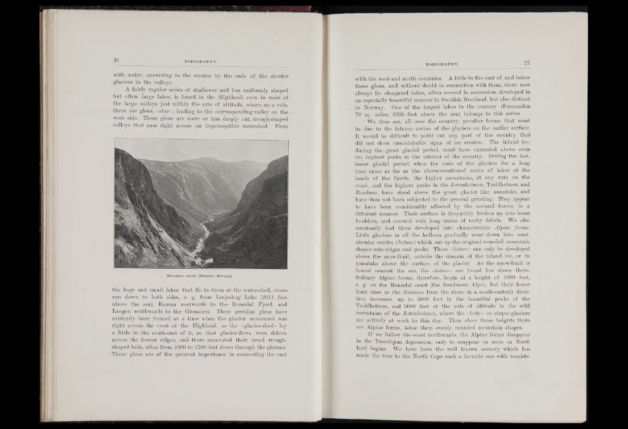
there are glens, isharn, leading to the corrresponding valley on the
west side. These glens are more or less deeply cut, trough-shaped
valleys that pass right across an imperceptible watershed. From
Mountain valley (Western Norway).
the bogs and small lakes that lie in them at the water-shed, rivers
run down to both sides, e, g. from Lesjeskog Lake (2011 feet
above the sea), Rauma westwards to the Romsdal Fjord, and
Laagen southwards to the Glommen. These peculiar glens have
evidently been formed at a time when the glacier movement was
right across the crest of the Highland, as the «glacier-shed» lay
a little to the south-east of it, so that glacier-flows were driven
across the lowest ridges, and there-excavated their usual. troughshaped
beds, often from 1000 to 1300 feet down through the plateau.
These glens are of the greatest importance in connecting the east
with the west and north-countries. A little to the east of, and below
these glens, and without doubt in connection with them, there now
always lie elongated lakes, often several in succession, developed in
an especially beautiful manner in Swedish Norrland, but also distinct
in Norway. One of the largest lakes in the country (Feemunden
78 sq. miles, 2205 feet above the sea) belongs to .this series.
We thus see, ,all over the country, peculiar forms that must
be due to the intense action of the glaciers on the earlier surface.
I t would be difficult to point out any part of the country that
did not show unmistakable 'signs of ice erosion. The inland ice,
during the. great glacial period, must have extended above even
the highest peaks in the interior of the country. During the last,
lesser glacial period, when the ends of the glaciers for a long
time came as far as the above-mentioned series of lakes at the
heads of the fjords, the higher mountains, at any rate on the
coast, and the highest peaks in the Jotunheimen, Troldheimen. and
Rondane, have stood above the great glacier like nunataks, and
have thus not been subjected to the general grinding. They appear
to have been considerably affected by the natural forces, in a
different manner. Their surface is frequently broken up into loose
boulders, and covered with long trains of rocky debris. We also
constantly find them developed into characteristic Alpine forms.
Little glaciers in all the hollows gradually wear down into semicircular
corries (botner) which cut up the original rounded mountain
shapes mto ridges and peaks. These «botner» can only be developed
above the snow-limit, outside the domain of the inland ice, or in
nunataks above the surface of the glacier. As the snow-limit is
lowest nearest the sea, the .«botner» are found low down there.
Solitary Alpine forms, therefore, begin at a height of 1000 feet,
e. g on the Romsdal coast (the Sondmore Alps); but their lower
limit rises as the distance from the shore in a south-easterly direction
increases, up to 3000 feet in the beautiful peaks of the
Troldheimen, and 5000 feet at the axis of altitude in the wild
mountains of the Jotunheimen, where the «botn»- or cirque-glaciers
are actively at work to this day. Thus above these heights there
are Alpine forms, below them evenly rounded mountain shapes.
If we follow the coast northwards, the Alpine forms disappear
m the Trondhjem depression, only to reappear-as soon as Nord-
land begins.' We here have the well known scenery which has
made the tour to the North Cape such a favorite one with tourists