■ s tan c e
» w e e n .
■Miles.
14°
R e m a r k s .
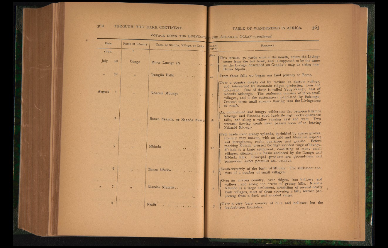
This stream, 30 yards wide at the mouth, enters the Livingstone
from the left bank, and is supposed to be the same
as the Lucage described on Grandy’s map as rising near
Banza Mputu.
From these falls we began our land journey to Boma.
"Over a country deeply cut by ravines or narrow valleys,
and intersected by mountain-ridges projecting from the
table-land. One of these is called Yangi-Yangi, east of
Ndambi Mibongo. The settlement consists of three small
villages, and is the easternmost populated by Bakongo.
Crossed three small streams flowing into the Livingstone
en route.
/An uninhabited and hungry wilderness lies between Ndambi
Mbongo and Nsanda; road leads through rocky quartzose
' hills, and along a valley running east and west. Two
streams flowing south were passed soon after leaving
V Ndambi Mbongo.
"Path leads over grassy uplands, sprinkled by sparse groves.
Country very uneven, with an arid and bleached aspect ;
soil ferruginous, rocks quartzose and granite. Before
reaching Mbinda, crossed the high wooded ridge of Ikungu.
* Mbinda is a large settlement, consisting of many small
villages, situated in a basin enclosed by the Ikungu and
Mbinda hills. Principal products are ground-nuts and
palm-wine, sweet potatoes and cassava.
/South-westerly of the basin of Mbinda. The settlement con-
\ sists of a number of small villages.
rOver an uneven country, over ridges, into hollows and
valleys, and along the crests of grassy hills. Nlamba
Nlamba is a large settlement, consisting of several neatly
built villages, most of them crowning a hilly terrace pro-
f jecting from a dark and wooded range.
/Over a very bare country of hills and hollows; but the
1 baobab-tree flourishes.