VOYAGE ON La
Remarks.
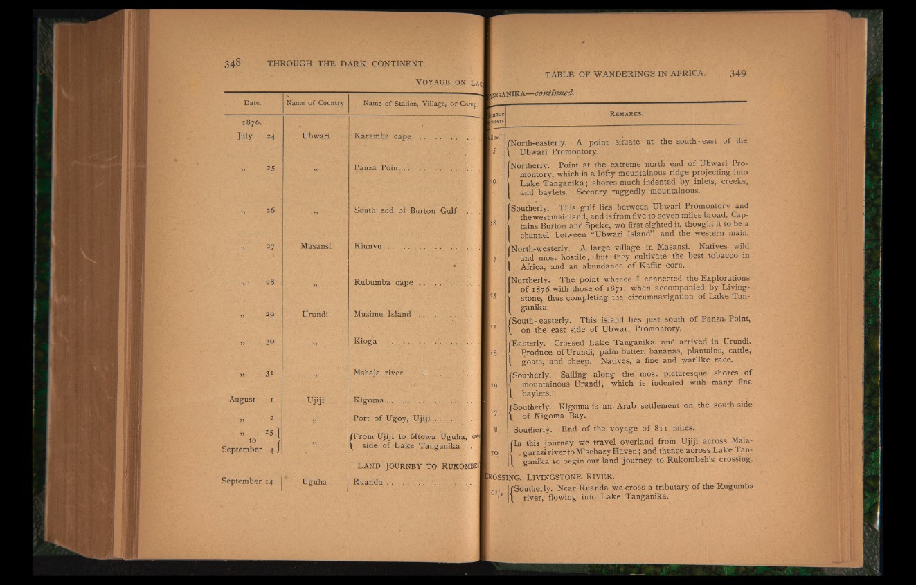
North-easterly. A point situate at the south-east of the
Ubwari Promontory.
iNortherly. Point at the extreme north end of Ubwari Promontory,
which is a lofty mountainous ridge projecting into
\ Lake Tanganika; shores much indented by inlets, creeks,
and baylets. Scenery ruggedly mountainous.
(Southerly. This gulf lies between Ubwari Promontory and
I the westmainland, and is from five to seven miles broad. Cap-
| tains Burton and Speke, wo first sighted it, thought it to be a
channel between “Ubwari Island” and the western main.
(North-westerly. A large village in Masansi. Natives wild
' and most hostile, but they cultivate the best tobacco in
Africa, and an abundance of Kaffir corn.
Northerly. The point whence I connected the Explorations
of 1876 with those of 1871, when accompanied by Livingstone,
thus completing the circumnavigation of Lake Tanganika.
South-easterly. This island lies just south of Panza, Point,
on the east side of Ubwari Promontory.
(Easterly. Crossed Lake Tanganika, and arrived in Urundi.
f Produce of Urundi, palm butter, bananas, plantains, cattle,
goats, and sheep. Natives, a fine and warlike race.
Southerly. Sailing along the most picturesque shores of
mountainous Urundi, which is indented with many fine
baylets."
Southerly. Kigoma is an'{Arab settlement on the south side
of Kigoma Bay.
Southerly. End of the voyage of 811 miles.
(In this journey we travel overland from Ujiji across Mala-
/ £garazirivertoM’sehazyHaven; and thence across Lake Tan-
\ ganika to begin our land journey to Rukombeh’s crossing.
tOSSING, LIVINGSTONE RIVER.
I [Southerly. Near Ruanda we cross a tributary of the Rugumba
'* 1 river, flowing: into Lake Tanganika.