J a n e e
w e e n .
R em a r k s .
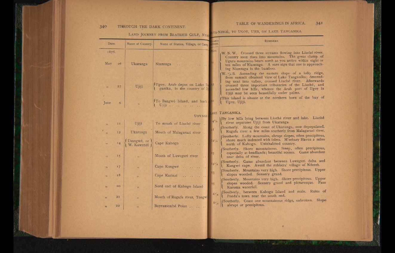
tie s . W. N. W. Crossed three streams flowing into Liuché river.
Country soon rises into mountains. The great clump of
Uguru mountains bears north as you arrive within eight or
ten miles of Niamtaga. A sure sign that one is approach-
!' ing Niamtaga is the bamboo.
'W. J/i S. Ascending the eastern slope of a lofty ridge,
from summit obtained view of Lake Tanganika; descending
next into valley, crossed Liuché river. Afterwards
crossed three important tributaries of the Liuché, and
ascended low hills, whence the Arab port of Ugoy in
Ujiji may be seen beautifully under palms.
/This island is situate at the northern horn of the bay of
V Ugoy, Ujiji.
tvk
¥5
*5
6 U
TANGANIKA.
/By low hills lying between Liuché river and lake. Liuché
\ river separates Ujiji from Ukaranga.
/Southerly. Along the coast of Ukaranga, now depopulated.
Rugufu river a few miles southerly from Malagarazi river.
ÍSoutherly. Lofty mountains, abrupt slopes, often precipitous,
shore much indented With inlets. M’sehazy Haven 2 miles
north of Kabogo. Uninhabited country.
/Southerly. Shore mountainous. Steep, often precipitous,
I especially at headlands; beautiful scenes. Game abundant
/ near delta of river.
/Southerly. Qame abundant between Luwegeri delta and
\ Kungwé cape. Avoid the robbers! village of Ndereh.
/Southerly. Mountains very high. Shore precipitous. Upper
\ slopes wooded. Scenery grand.
/Southerly. Mountains very high. Shore precipitous. Upper
< slopes wooded. Scenery grand and picturesque. Pass
/ Kasuma waterfall.
/Southerly, between Kabogo Island änd main. Ruins of
\ Ponda’s town near the south end.
/Southerly. Coast one mountainous ridge, unbroken. Slope
\ abrupt or precipitous.