54 THE saklawIyah canal. [chap. III.
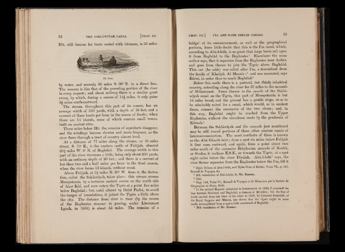
Hit, still famous, for boats coated with bitumen, is 53 miles
Hit Boat.
by water, and scarcely 36 miles S. 36° E. in a direct line.
The scenery is like that of the preceding portion of the river
in every respect; and about midway there is a similar great
sweep, by which, during a course of 14J miles, it only gains
5 | miles south-eastward. '
The stream, throughout this part of its course, has an
average width of 350 yards, with a depth of 16 feet, and a
current of three knots per hour in the season of floods; when
there are 14 islands, some of which contain small towns,
built on ancient sites.
Three miles below Hit the remains of aqueducts disappear,
and the windings become shorter and more frequent, as the
river flows through a tract of country almost level.
At a distance of 77 miles along the stream, or 48 miles
direct, S. 70° E.,' is the modern castle of Felujah, situated
29s- miles W. 2° N. of Baghdad. The average width in this
part of the river decreases a little, being only about 250 yards,
with an ordinary depth of 20 feet; and there is a current of
less than two and a half miles per hour in the flood season,
when the river forms 13 islands, without wood.
Above Felujah, at 5 f miles N. 60° W. from it, the derivation,
called the Saklawiyah, takes place : this stream crosses
Mesopotamia by a tortuous eastern course on the north side
of Akar Kuf, and now enters the Tigris at a point five miles
below Baghdad; but, until altered by Daud Pasha, to avoid
the danger of inundations, it joined the Tigris a little above
the city. The distance from river to river (by the course
of the Euphrates steamer in passing, under Lieutenant
Lynch, in 1838) is about 45 miles. The remains of a
CHAP. I I I . ] l ’SA AND NAHR SERSÂR CANALS. 55
bridge1 at its commencement, as well as the geographical
position, leave little doubt that this is the I’sa canal, which,
according to Abu-1-fedâ, is so great that large boats sail upon
it from Baghdad to the Euphrates.2 Elsewhere the same
author says, that it separates from the Euphrates near Anbar,
and goes from thence to join the Tigris above Baghdad.
This cut (he adds) was called after I’sa, a descendant from
the family of Khaliph A1 Mansur ;3 and was excavated, says
Edrisi, in order thus to reach Baghdad.4
Below this castle there is a pastoral, but thinly inhabited
country, extending along the river for 37 miles to the mounds
of Muhammed. From thence to the mouth of the Saklawiyah
canal on the Tigris, this part of Mesopotamia is but
18 miles broad, and the ground has a gentle slope, so as to
be admirably suited for a canal, which would, as in ancient
times, connect the commerce of the two rivers ; and, in
this way, Baghdad might be reached from the Upper
Euphrates, without the circuitous route by the peninsula of
Kurnah.5
Between the Saklawiyah and the mounds just mentioned
may be still traced portions of three other ancient canals of
intercommunication. The most northern of these is known
as the Abu Gharib inlet; from a spot six miles below Felujah
it first runs eastward, and again, from a point about two
miles south of the extensive Babylonian mounds of Kushk,
or Sindea, it inclines E.S.E., or towards the Tigris, at a spot
eight miles below the river Diyalah. Abu-l-feda says, the
river Sersar separates from the Euphrates below the I’sa, till it
1 Djisir Dehma of Abu-l-feda, and Djisir Dina of Edrisi ; Tome VI., p. 157,
Recueil de Voyages, &c.
a MS. translation of Abû-1-fedâ, by Mr. Rassam.
8 Ibid.
‘ Page 144, Tome VI., Recuéil de Voyages et de Mémoires par la Société de
Géographie de Paris, 1840.
5 In the printed Reports submitted to Government in 1833, I proposed the
line between Makdam and Baghdad, a distance of 22 miles; but the line of
levels carried from one river to the other in 1837, by Corporal Greenhill, of
the Royal SappeTs and Miners, has shown that the object might be more
easily accomplished from a spot a little southward of Baghdad.
8 MS. translation of Mr. Rassam.