Amongst these, however, may he noticed the ruins near the
village of Corus; the latter being situated on the slopes of the
Taurus,1 about 40 miles north by west of Aleppo, or nearly the
distance given in the Itinerary; it is probable that the ruins aré
those of Cyrrhus, the chief town of the ancient Cyrrhestica.
Fifteen miles south-east by east from thence, and on the lowest
slopes of Taurus, is Kills, the seat of a Turkoman government,
whose limits nearly correspond with those of the province
just mentioned. The town, which occupies a valley opening
southward, and the slopes above it, is of stone, and tolerably
well built; it contains an inferior bázár, 23 good mosques,
some baths, and about 12,000 inhabitants; these consisting of
Armenians, Turks, Kurds, and Turkomans, but chiefly the
last, who are at once agriculturists and carriers; and the site
appears to correspond with that of ancient Ciliza, being 32
miles north of Aleppo.
Ten miles south-west of the preceding town, and about 26
miles north by west of Aleppo is A’záz, a Kasabah in three
separate portions, containing about 250 badly-built houses
partly enclosing a Tell, which is rather larger than the
generality of those on the plain of Aleppo. The mound is
nearly circular, and partly of lime-stone, with a circumference
of about 250 yards at the base, and 90 yards at the top of the
cone, which is about 120 feet high; its natural kernel having
been increased to this extent in order that the work might be
more defensible. As this place appears to represent the Arsacé
of the Itinerary, the walls on its summit may be the remains of
the citadel, which probably occupied this commanding ground,
and opposed for a time both the conquests of Saláh-ed-din,2
and the advance of Tai'múr B eg ; the latter, having got possession
of it, bestowed some care in strengthening its fortifications.
Previously to its occupation by that chief) it was a
fief of the Latins, who had been called in to protect the place
against the sultán of Aleppo.3 Eight miles S.S.W. of A’záz,
and near Basúl, are the remains of two ruined convents; and
1 Corus, built on the side of the Taurus, two days from Munhedj.—Edrisi,
tome VI., p. 139.—Recueil de Voyages, &c.
’ Hist, des Huns, tome II., p. 232. 8 Ibid., II ., pp. 97, 98.
a little southward, beyond the village, stands the castle of
Bassuet, which was erected to command this part of the
deep valley and the passage of the river Afrin: the latter, at
this place, is 200 paces broad in the low season.
Again, about 10 miles S.S.W. on the northern shoulder of
Sheikh Barakat, in a rocky and somewhat dreary situation,
and at about two-thirds of the way towards the summit, are
the ruins of one of those monastic establishments so frequently
met towards the southern extremity of the pashalik. Near
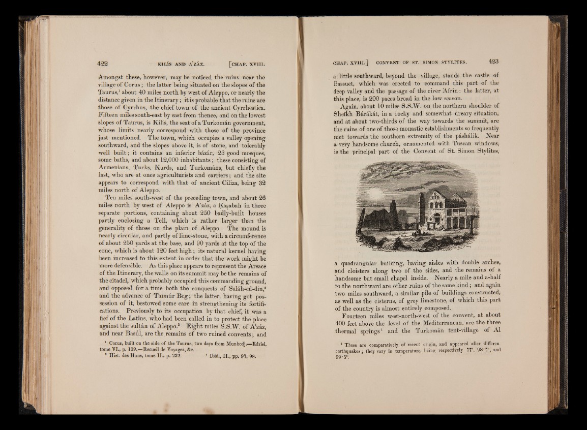
a very handsome church, ornamented with Tuscan windows,
is the principal part of the Convent of St. Simon Stylites,
a quadrangular building, having aisles with double arches,
and cloisters along two of the sides, and the remains of a
handsome but small chapel inside. Nearly a mile and a-half
to the northward are other ruins of the same kind; and again
two miles southward, a similar pile of buildings constructed,
as well as the cisterns, of grey limestone, of which this part
of the country is almost entirely composed.
Fourteen miles west-north-west of the convent, at about
400 feet above the level of the Mediterranean, are the three
thermal springs1 and the Turkoman tent-village of A1
1 These are comparatively of recent origin, and appeared after differen
earthquakes; they varv in temperature, being respectively 77°, 98"7°, and
99-5°.