After passing the Zeugma of Sumeisat, the river winds
through a succession of swelling hills, having a pasture country
on each side, with partial cultivation around the villages,
which are scattered here and there along the banks, within
an extent of 51 miles by the stream; and 40 miles in a direct
line, S. 69 ., to Rum Kal ah. The castellated building
which gives its name to the spot, stands on a high hill of
limestone formation, overhanging the right bank, and having
its base washed by an abundant stream, which enters the
Euphrates from the west, through a very rocky valley.
Along the tributary, and on the right side of the hill
rising from the main trunk, stands the town, which may
contain about 900 miserable houses, covering the sides of
the hills encircling that on which the castle is so judiciously
placed; to command and protect one of the ancient
Zeugmas.
Immediately below the town the river changes its direction,
and inclines rather eastward of south for a distance of 15
miles, through a more cultivated country, when it approaches
the ruined castle of Graum; which is but 80J miles from the
sea at Bayas. The distance from Graum is 10 miles E.S.E.
to ancient Birtha, the Bir, or Bireh-jik of the Turks; which
place is 26^ miles by the river, and 16 miles directly S. 28° E.
from Rum Kal’ah.
The position of the castle of Bir resembles that of the one
just noticed, except that it rises from the left bank, so as to
command the passage of the river on the opposite side. The
town contains about 1700 houses, which cover the valley,
the bank of the river; and also the side of the hill northward
as well as eastward of the castle. It is surrounded by a
substantial wall, which, like the castle, is partly of Turkish
architecture, and partly of that of the middle ages ; it is also
in a most convenient situation, on the great line from Aleppo
to Urfah and Diyar Bekr.
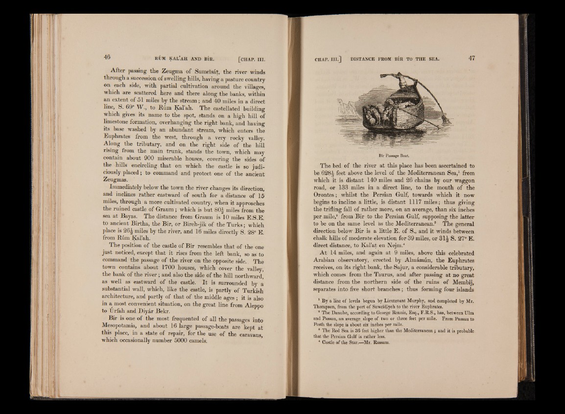
Bir is one of the most frequented of all the passages into
Mesopotamia, and about 16 large passage-boats are kept at
this place, in a state of repair, for the use of the caravans,
which occasionally number 5000 camels.
Bir Passage Boat.
The bed of the river at this place has been ascertained to
be 628^ feet above the level of the Mediterranean Sea,1 from
which it is distant 140 miles and 26 chains by our waggon
road, or 133 miles in a direct line, to the mouth of the
Orontes; whilst the Persian Gulf, towards which it now
begins to incline a little, is distant 1117 miles; thus giving
the trifling fall of rather more, on an average, than six inches
per mile,2 from Bir to the Persian Gulf, supposing the latter
to be on the same level as the Mediterranean.3 The general
direction below Bir is a little E. of S., and it winds between
chalk hills of moderate elevation for 39 miles, or 31J S. 27° E.
direct distance, to Kal’at en Nejm.4
At 14 miles, and again at 9 miles, above this celebrated
Arabian observatory, erected by Almamun, the Euphrates
receives, on its right bank, the Sajur, a considerable tributary,
which comes from the Taurus, and after passing at no great
distance from the northern side of the ruins of Membij,
separates into five short branches; thus forming four islands
1 By a line of levels begun by Lieutenant Murphy, and completed by Mr.
Thompson, from the port of Suweidiyeh to the river Euphrates.
a The Danube, according to George Rennie, Esq., F.R.S., has, between Ulm
and Passau, an average, slope of two or three feet per mile. From Passau to
Pesth the slope is about six inches per mile.
8 The Red Sea is 36 feet higher than the Mediterranean; and it is probable
that the Persian Gulf is rather less.
* Castle of the Star.—Mr. Rassam.