gable; since, as we are informed by Mr. Brant and others,
timber is floated down them for the working of the mines.
Here the Euphrates assumes an imposing character, as it runs
douth-westward, struggling as before, says Mela,1 to make
good its original course towards the Mediterranean : it bears
indifferently among the natives the names of Frat or
Murad.
The western branch, as will have been perceived, has
already forced its way through that portion of the Anti-
Taurus which appeared at one time to offer an insuperable
barrier to its onward progress ; especially in the direction of
the Mediterranean. Below the ferry of Ma’den, where it is
120 yards wide2 and very deep, the Tauric chain, against
which it still presses, forces the river to incline rather more
southward; and, at about 15 miles in this direction from the
ferry, it receives a tributary, called the Chamurli su (Mud
Water), coming from the west, through a narrow and well
cultivated valley; and again, seven miles farther on, another,
and still larger, called the Tokhmah su (Boundary Water);
which latter has been supposed to be the Kuramas, or Melas
of the ancients, and to have given its name to the district and
town of Melitene (Malatiyah). This stream comes from the
Gok Dille mountains on the slopes of the Anti-Taurus; it
flows past the town of Gurun, and is, on approaching the
populous and interesting town of Derendah, a considerable
stream. From the latter place its course is nearly eastward
to the Euphrates, into which it enters below the towns of
Aspuzi and Malatiyah; near which it is suited for boats of
light draught.3
The town of Malatiyah contains about 2923 families, who
are accustomed to spend the five winter months only at that
place, and the remaining seven months at Aspuzi.4 After
receiving the Tokhmah su, at half a mile beyond the Eis
Oghlu ferry, the Murad enters the main chain of the Taurus,
and, after struggling onwards in various directions for about
1 Lib. III., chap. 9 ; and Pliny, lib. V., c. 24.
* Ainsworth’s Journey.—See Vol. III. 8 MS. of Mr. Ainsworth.
* Journal of the Royal Geographical Society, Vol. VI., Part II ., p. 211.
45 miles, among the recesses of these mountains, bounded by
lofty precipices, and constantly interrupted by rocks, as well
as small rapids, it finally forces a passage through the Taurus;
leaving to the right, or north, the higher part of this chain.
Until lately it had been supposed that this portion of the
river was not in any way navigable; but, during the campaign
of 1839, it was the uniform practice of Hafiz Pasha
to embark his stores on rafts, and float them down at least to
Sume'isat;1 from whence the stream continues navigable,2
without any serious interruption, for a distance of 1195J
miles to the sea.
After clearing the difficulties just alluded to, the windings
continue to be short and abrupt, between low, steep h ills;
and the river takes the general direction of W.S.W. as it
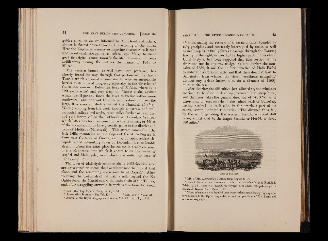
passes near the eastern side of the. ruined walls of Sume'isat,
having received on each side, in the previous part, of its
course, several inferior tributaries. The distance thus far,
by the windings along the western branch, is about 450
miles, whilst that by the larger branch, or Murad, is about
586 miles.3
Ferry at Sumeïsât.
1 MS. of Mr. Ainsworth’s Journey from Angora to Bir.
8 Puis à Samosate où. il commence à devenir navigable jusqu’à Baghdàd.
Edrisi, p. 137, tome VI., Recueil de Voyages et de Mémoires, publiés par la
Société de Géographie. Paris, 1840.
These calculations are founded upon observations made during my exploratory
Journey to the Upper Euphrates, as well as upon those of Mr. Brant and
others subsequently.