Hamm am; and 10 miles onward in the same direction, the
Gul Bashi river and marsh are crossed by a bridge and
causeway of 17 arches,1 which were constructed at Murad
Pasha by a vezir of that name, in order that the road might
be open during the rainy season, not only from Aleppo to
lskenderun, but also round the Aga Denghiz to Antioch.
The Amanus rises abruptly from the western shore of the
Aga Denghiz, leaving in certain places only a very narrow
strip. Nearly midway between Murad Pasha and Antioch,
Khan Karamoot is situated in a strong defile, which is
commanded by Kal’-at-Pagras, the strong-hold where the
celebrated chieftain Kuchuk Ali was for some time enabled to
defy the power of the Sultan; his 'supplies being obtained by
contributions levied on the passing caravans.
Near the opposite side of the great lake are the Kurdish
villages occupying the crests of the hills which enclose the
Kizil Chai', Chateli Chai, the Kara Su, and the other affluents
of the Orontes, already noticed ; by these the western side of
the pashalik, northward of Antioch, is amply watered.
Scarcely a vestige remains of that portion of ancient
Antioch which, according to Pliny,2 must have occupied the
northern banks of the Orontes.3 Walls and square towers
of surprising solidity4 encircled the residence of the Syrian
monarchs, the seat of pleasure, the centre of extensive commerce,
and the third city of the habitable earth.5 The southern
portion of Riblatha,6 or Hamath the Great,6 occupied a
singular and most striking position. This part of the city
was bounded on the south-east by a high range of rocky hills,
and on the opposite or north-western side, by the valley of the
Orontes; whilst deep precipitous valleys formed its northeastern
and south-western limits. The walls have a circumference
of nearly seven miles, and form an irregular parallel1
See Plate LXXV., vol. iv.
2 Antioch, near Daphne, which is traversed by the Orontes.—Lib. V., cap.
xx.
Jaubert’s Edrisi, tome VI., p. 131.—Recueil de Voyages et de Mernoires.
4 Jos. Wars, lib. III., s. 4. 5 Boch. Praef., 41.
6 Calmet’s Diet, of the Bible
ogram, with one of its longer sides touching the Orontes, and
the other crowning the summits of the heights above mentioned.
The city appears to have covered the plain and the
sides of the hills eastward, on the rocky declivities of which
are some ancient remains. Amongst these may be noticed
a building with a square basement, containing four Saracenic
arched entrances; the whole is surmounted by a round tower,
probably Norman, rising about 30 feet higher. Again, at no
great distance above the gate of St. Paul are the ancient
excavations forming part of the church of St. John; and in
the vicinity a colossal head, probably that of a Sphinx; also a
full-length Egyptian figure, both in bold relief, cut in the
solid rock evidently at a very remote period. In a retired spot
towards the centre of the mountain ridge are the remains of
a circular structure, about 90 feet in diameter, partly excavated
in the rock; it is enclosed with a wall four feet high, and
is traditionally connected with the Pagan immolations to
Jupiter.
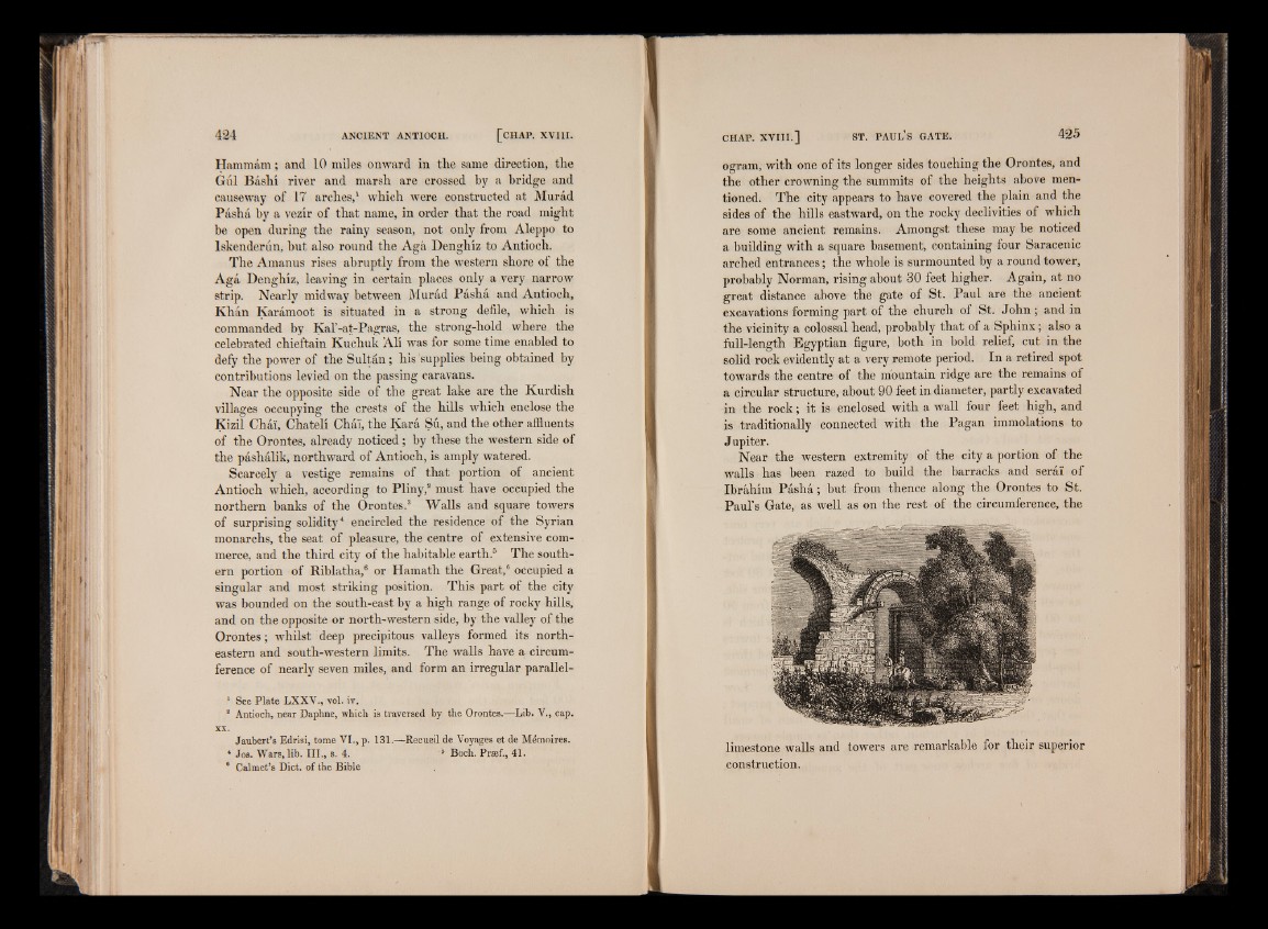
Near the western extremity of the city a portion of the
walls has been razed to build the barracks and serai of
Ibrahim Pasha; but from thence along the Orontes to St.
Paul’s Gate, as well as on the rest of the circumference, the
limestone walls and towers are remarkable for their superior
construction.