remainder of Upper and the whole of Lower Galilee, encloses
several fine plains. One of these, that of Safet, stretches northeastward
of that place along Lake Houle, towards the border
of Upper Galilee. Another, called El Buttauf, extends from
Kana-el-Jelil as far in the direction of Lake Tiberias as El
Hattin, where was fought the battle between the Crusaders,
under Guy de Lusignan, king of Jerusalem, and the Saracens,
under Salah-ed-din, who gained a complete victory.1 A little
way from Kana-el-Jelil commences the Ard-el-Hammar,
which extends in a S.S.E. direction for some distance along
the mountains at the western side of the Lake ; and farther
on, at the southern border of Lower Galilee, is the plain of
Merj Ibn Amir, formerly Esdraelon, which has been alike
remarkable for its fertility and as the site of historical events.
Here occurred the discomfiture of Sisera, and the defeat of
Ahab ; and here Napoleon gave effectual support to Kleber,
by defeating the Turks between the village of Fuleh and
Mount Tabor. South-westward of the hilly ground about
Nazareth, the plain has a width of 12 miles, and in some
places 15 miles ; and with the exceptions of a few undulations,
principally -some hills about Jezreel and little Hermon,2 it is
quite level, and extends south-eastward for nearly 20 miles
along the upper branch of the Nâhr Makutta. A valley
proceeds from thence along the lower part of that river to the
bay of Akkâ ; and there are three others of more considerable
extent diverging from its opposite extremity. The most
northern of these, Wadi-el-Biri, runs from the foot of Tabor
into the valley of the Jordan ; the next, that of Jezreel, which
is wider and more level, extends in the same direction from
the villages of Solam3 and Zer’in, near which is the fountain
of Jalâad or Jezreel,4 to Beïsan,5 having the hills of Hermon
on the northern, and those of Jelbon, anciently Gilboa, on the
1 Commonly called the Battle of Tiberias.1—Mill’s Hist, of the Crusades,
vol. & pp. 433, 434 ; and Dictionnaire Historique des Sièges et Batailles, &c.
Paris, 1808. 8 Ps. XLII., v. 6 ; LXXXIX., v. 12 ; and CXXXIII., v. 3.
3 Ancient Shunem.—Dr. Robinson, vol. III., p. 169.
* Benjamin of Tudela, by A. Asher, vol. L p. 80, and Note, vol. II., p. 100.
5 Jebel-es-Sheïkh, the highest part of Lebanon.
southern side. The last, Or southern branch, runs from Jenin
(Ginea) eastward along the mountains of Samaria, and has on
one of its rocky hills the village of Jelbon (Gilboa). The
great plain itself, also called Megiddo, into which these
branches enter, is now chiefly fine pasture ground with some
cultivated spots; spread over which, and situated on slight
eminences, are, the villages of Nain, Endor at the foot of little
Hermon, Lejjun,1 and others, looking like spots dotted over
the rich carpet spread southward and westward of Mount
Tabor. On a conical hill, 8 miles north-west, are the village
and ruined castle of Sufurieh, anciently Sepphoris,2 or Dio
Caesarea, and the Hebrew Tsippori,3 with other remains, presumed
to be those of the Palace of Herod; and a little onward
is the choicest tract in the land of Zabulon. This remarkable
plain has an extent of barely five miles, by less than two miles
in width, with several pleasing hamlets here and there on the
sides of the wooded hills by which it is enclosed. About four
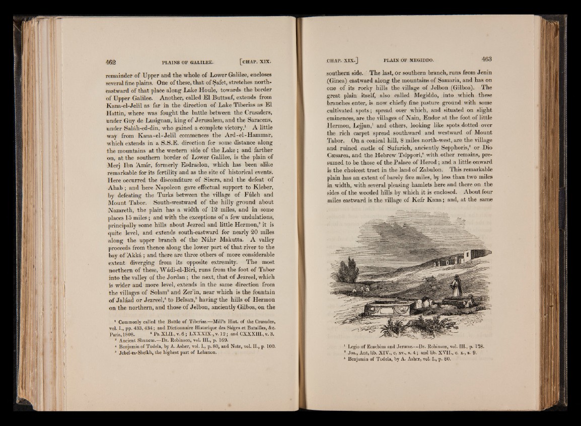
miles eastward is the village of Kefr Kana; and, at the same
1 Legio of Eusebius and Jerome.—Dr. Robinson, vol. III., p. 178.
8 Jos., Ant, lib. XIV., c. xv., s. 4 ; and lib. XVII., c. x., s. 9.
3 Benjamin of Tudela, by A. Asher, vol. I., p. 80.