10 miles westward of Rowánduz, where, being joined by a
considerable tributary, it suddenly sweeps round to the
W.S.W. This tributary, which, up to the recent visit of
Mr. Ainsworth, had been mistaken for the great Záb, is
formed by numerous branches springing from the slopes of
the Keli Shin and Kendilan mountains; the principal of
these branches, the Sidaka, receives the others a few miles
north of Rowanduz, after flowing W. S.W. through a limestone
bed. The united waters wind southward to that town,
and from thence, on being joined by the Rowánduz river, flow
W. and W.N.W. into the Záb; having previously, at about
two miles and a half below this remarkable strong hold of
the Kurds, received a river, which, flowing through deep
ravines and secluded dells, comes into it from the limestone
chain to the S.W., called Sar Hassan Beg.1 The main
trunk now, under the appellation of the great Záb, winds
onward W.S.W. through the valley, and between the villages
of Kendil and Kasroki; about 12 miles below these
places, in the same direction, it receives the Akra (a tributary
from the N.W.), and, on the opposite side, the Bastorah
Chái. The course of the river from hence is nearly S.W.,
till it falls into the Tigris, short of which, about midway, it
receives the river Khazir, or Bumadus, a considerable affluent
formed by the Ghomar Sú and other tributaries, all springing
to the southward of Amádíyah. After this accession to its
waters, the Záb continues in the previous direction till it
enters the main river below Senn with a deep stream 60 feet
wide, and it forms at this place of junction a small pebbly
island.2 About 12 miles below the confluence of the great
Záb there is a ford, which is opposite the saint’s tomb called
Sultán Abdii-llah ;3 and about six miles lower, but on the
opposite, or right bank, are the hot springs and bituminous
fountains forming the stream called Kear;4 below which
large forests occupy the banks for the next 20 miles.5 At 13
1 Mr. Ainsworth’s Visit to the Chaldeans: p. 10, Part I. Vol. XI., of the
Royal Geographical Journal.
8 At the ford above, on the high road to Mdsul, the river is 200 feet broad.
—Lieutenant Ormsby's MSS.
Ibid. 4 Ibid. 5 Mr. Ainsworth’s MS.
or 14 hours, or about 32 miles below the Zab, and near the
ruins of Kal’ah Shirkat, the Ur of the Persians, a river, called
the Asas Amir (which had not been noticed by any traveller
previous to the descent of Lieutenant Ormsby in 1832), enters
the Tigris on the western side, after a long course from the
Sinjar hills. From hence, after a course of about 28 miles
in the general direction of S.E., and skirting the Hamri'n hills,
over a succession of small rapids, the Lesser Zab,1 or Caprus,
enters the Tigris with a deep stream 25 feet broad,2 having
pursued a course from Altun Kopri in a south-western direction,
or parallel to the greater Zab. The main branch rises
about 20 miles S.W. of the northern extremity of lake Uru-
miyah; then, after a course to the S.E. of about 30 miles, it
turns abruptly S.W., and about 20 miles onwards, in the latter
direction, it receives five different affluents from the valleys of
the Kurdistan mountains.3
The trunk thus formed by these different streams continues
in the same direction as before to Altun Kopri, or the golden
bridge. The small town bearing that name contains about
400 houses; it is built on a peninsula, which becomes an
island during the flood season, and contains, in addition to
the dwelling-houses, several grain stores and wharfs, at which
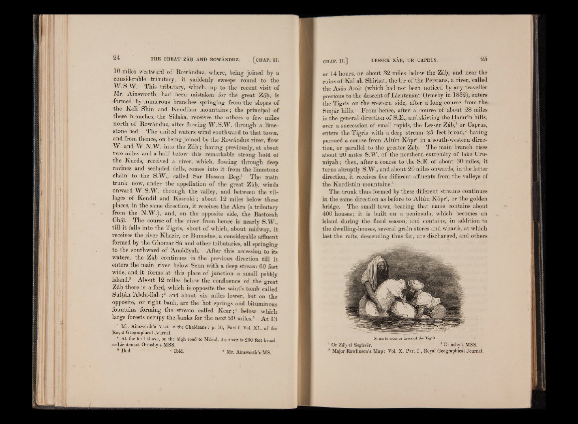
last the rafts, descending thus far, are discharged, and others
Skins to cross or descend the Tigris.
1 Or Záb el Soghaer. 2 Ormsby’s MSS.
8 Major Rawlinson’s M ap : Vol. X. Part I., Royal Geographical Journal.