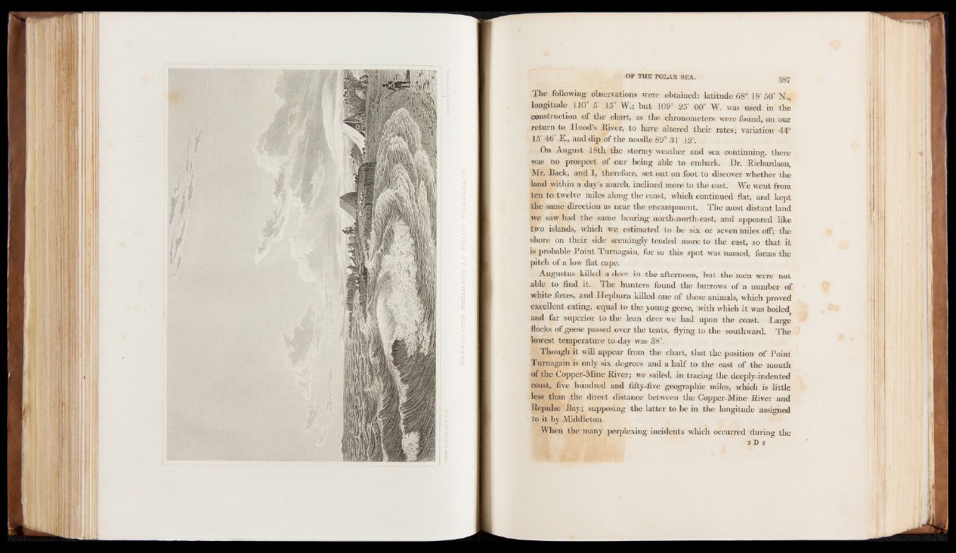
The following observations were obtained: latitude 68° 18' 50" 1ST.,
longitude 110° 5' 15" W.; but 109° 25' 00" W. was used in the
construction of the chart, as the chronometers were found, on our
return to Hoods River, to have altered their rates; variation 44°
15' 46" E., and dip of the needle 89° 31' 12".
On August 18th the stormy weather and sea continuing, there
was no prospect of our being able to embark. Dr. Richardson,
Mr. Back, and I, therefore, set out on foot to discover whether the
land within a day’s march, inclined more to the east. We went from
ten to twelve miles along the coast, which continued flat, and kept
the same direction as near the encampment. The most distant land
we saw had the same bearing north-north-east, and appeared like
two islands, which we estimated to be six or seven miles off; the
shore on their side seemingly tended more to the east, so that it
is probable Point Turnagain, for so this spot was named, forms the
pitch of a low flat cape.
Augustus killed a deer in the afternoon, but the men were not
able to find it. The hunters found the burrows of a number of
white foxes, and Hepburn killed one of these animals, which proved
excellent eating, equal to the young geese, with which it was boiled
and far superior to the lean deer we had upon the coast. Large
floeks of geese passed over the tents, flying to the southward. The
lowest temperature to-day was 38°.
Though it will appear from the chart, that the position of Point
Turnagain is only six degrees and a half to the east of the mouth
of the Copper-Mine River; we sailed, in tracing the deeply-indented
coast, five hundred and fifty-five geographic miles, which is little
less than the direct distance between the Copper-Mine River and
Repulse Bay ; supposing the latter to be in the longitude assigned
to it by Middleton.
When the many perplexing incidents which occurred during the
3 D a