above the plateau, that is, to 19,500 ft. of absolute
elevation above the sea. “ The ” peak of Kailas, that
is to say, the famous holy mountain, 21,850 ft., known
to Tibetans as Tise, dominates the rest of the ridge by a
clear 2000 ft., standing out majestically like a cone and
visible from a very considerable distance. The only
rival that can bear comparison with the Holy Mount is
Gurla Mandhata, 25,350 ft., called by the Tibetans
Memo, or Memo-Nam-Nyimri, which is one of the
highest mountains in Tibet. Between these two lie
the Rakas Tal and the Mansarowar Lake (respectively
Lagang and Mobang of the Tibetans), 14,850 and 14,900
ft. above sea level: and there is no more sacred spot
in all Hinduism, or Tibetan Buddhism, than the country
so enclosed.
Further south, the principal line of water-parting along
the Tibetan and British frontiers is a ridge of great altitude,
the mean elevation being upwards of 18,000 ft. above
the sea, and the highest peak, Kamet, reaching an elevation
of 25,373 ft. At no point is it possible to enter
the British territory of Almora and Garhwal without
rising to 16,750 on the Niti Pass or 16,780 ft. on the
Lipu Lekh Pass, whereas the other passes range from
17,590 ft., viz., the Untadhura, to Mana, 17,890 ft., and
Neo, 18,510 ft., and the Lankpya, 18,150 ft., while the
road over many of the passes is rendered very dangerous
owing to the presence of glaciers and hidden crevasses,
traders frequently tying poles to their persons to prevent
total destruction in the event of a fall into some
concealed crack.
Both in Almora and Garhwal the most important of
the masses of snowy mountains are found in groups along
a line from twenty to thirty miles south of the above
water-parting, with which they are connected by lofty
ridges covered with perpetual snow, whilst they are
separated from each other by deep gorges, which lead
up to the main passes into Tibet, and form the main
trade routes between India and Central Asia. The chief
of these groups is that of which Nanda Devi is the culminating
peak, 25,689 ft. above the sea, the highest
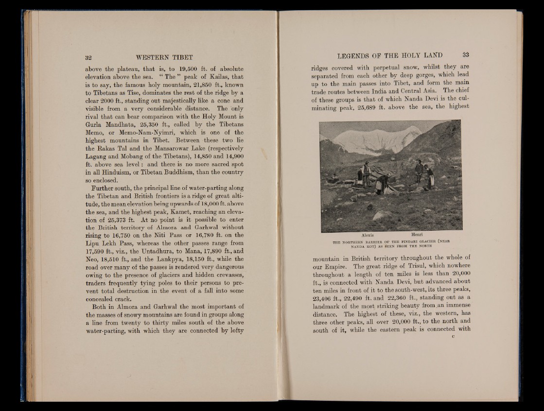
THE NORTHERN BA RR IER OF THE P IN D A R I GLACIER (NEAR
NANDA KOT) AS SE EN FROM THE NORTH
mountain in British territory throughout the whole of
our Empire. The great ridge of Trisul, which nowhere
throughout a length of ten miles is less than 20,000
ft., is connected with Nanda Devi, but advanced about
ten miles in front of it to the south-west, its three peaks,
23,406 ft., 22,490 ft. and 22,360 ft., standing out as a
landmark of the most striking beauty from .an immense
distance. The highest of these, viz., the western, has
three other peaks, all over 20,000 ft., to the north and
south of it, while the eastern peak is connected with
c