Camp of kJu/y 20.2/.
&/vooac ofiJvfy 2 2 .
S/e ep//7</p/ace /n roc As
i/Wy 23, after f?va/anc/?c
SJeep/nq p/aee or
G / a c ie r %.J o / y 2 ih.
JA'KAP
MOBANG
MANSAROWAR
To GYANEMA
T H O K A f t
To g y a n e M a SEKUNO
BALDAK
15000 ft O.
KARDAM
AJJ6 50
CURIA
L IP U LEKH ^
PASS
K.HOJARNATH
To JUM LA
CHAPTER XII
AN ATTEMPT TO CLIMB GTJRLA MANDHATA
BY T. G. LONGSTAFF
I h a v e to thank the author of this book for much official
help and many private kindnesses during my mountaineering
trip among the snows of Kumaon: further,
it was he who obtained permission for me to accompany
his party to Tibet. When, therefore, he asked me to
write this chapter, I felt that it was not only a compliment
but that compliance was a pleasant duty. I
can only hope that the reader will not think this addition
to the book is out of place.
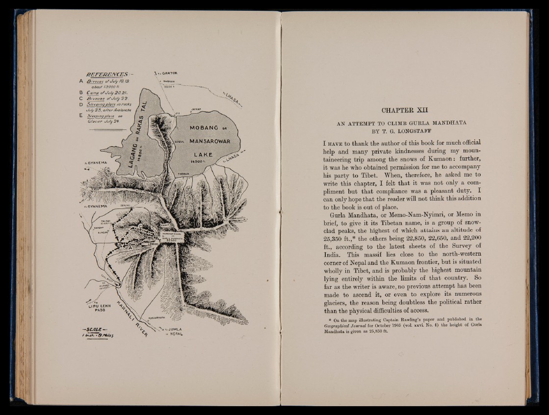
Gurla Mandhata, or Memo-Nam-Nyimri, or Memo in
brief, to give it its Tibetan name, is a group of snow-
clad peaks, the highest of which attains an altitude of
25,350 ft.,# the others being 22,850, 22,650, and 22,200
ft., according to the latest sheets of the Survey of
India. This massif lies close to the north-western
corner of Nepal and the Kumaon frontier, but is situated
wholly in Tibet, and is probably the highest mountain
lying entirely within the limits of that country. So
far as the writer is aware, no previous attempt has been
made to ascend it, or even to explore its numerous
glaciers, the reason being doubtless the political rather
than the physical difficulties of access.
* On the map illustrating Captain Rawling’s paper and published in the
Geographical Journal for October 1905 (vol. xxvi. No. 4) the height of Gurla
Mandhata is given as 25,850 ft.