*ng> by which time we reached Sam-Su, near the ruins
of Fort Kastek. Here a message from the authorities
at Vierny had preceded me that horses should be in
readiness, and the amiable old post-master, thinking
that some one of importance must be coming, had put
out bread and salt for a welcome, and he inquired
privately of Mr. Interpreter by what titles he should
address me.
Had we intended to visit Lake Issik-Kul, this would
have been the point from which to turn our faces southwards
over the Kastek Pass, 3,300 feet high, to the
SUMMER RESIDENCE OF THE GOVERNOR OF SEMIRECHIA.
head waters of the Chu, along the bed of which the
post-road runs through the Buam defile, called by the
natives the Happy Pass, to the station Kutemaldi.*
* From Kutemaldi there goes off a sumpter post-road, directly south,
along which there are pickets as far as Fort Narin. Beyond this is a
bridle-road to Kashgar, 200 miles in all as the crow flies, but not less
than 260 miles distant by this route. Kutemaldi lies at a height o f
5,300 feet above the sea level, and the path proceeds along the bed
of the Kochkur to the Dolan Pass (10,100 feet), then descends into the
Narin valley to the river and fort (7,100 feet) of that name, which is
practically the Russian outpost. Beyond it a bridle-path ascends
along the Kara-Kain stream to the Kash-Rabat Pass (12,930 feet).
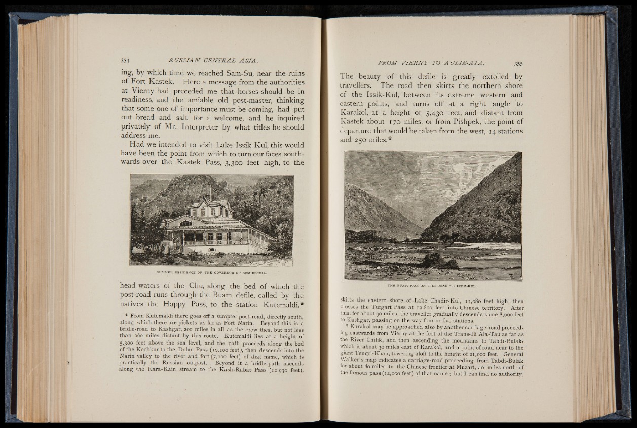
The beauty of this defile is greatly extolled by
travellers. The road then skirts the northern shore
of the Issik-Kul, between its extreme western and
eastern points, and turns off at a right angle to
Karakol, at a height of 5,430 feet, and distant from
Kastek about 170 miles, or from Pishpek, the point of
departure that would be taken from the west, 14 stations
and 250 miles.*
THE BUAM PASS ON THE ROAD TO ISSIK-KUL.
skirts the eastern shore of Lake Chadir-Kul, 11,080 feet high, then
crosses the Turgart Pass at 12,800 feet into Chinese territory. After
this, for about 90 miles, the traveller gradually descends some 8,000 feet
to Kashgar, passing on the way four or five stations.
* Karakol may be approached also by another carriage-road p roceeding
eastwards from Vierny at the foot of the Trans-Ili A la-Tau as far as
the River Chilik, and then ascending the mountains to Tabdi-Bulak,
which is about 30 miles east of Karakol, and a point of road near to the
giant Tengri-Khan, towering aloft to the height of 21,000 feet. General
Walker’ s map indicates a carriage-road proceeding from Tabdi-Bulak
for about 80 miles to the Chinese frontier at Muzart, 40 miles north of
the famous pass (12,000 feet) of that name ; but I can find no authority