The Kernel farther than the eye can reach have 4 or 5 feet of clear water, and the
of the adjacent, lands for 20 or 30 miles are level.”
Argument. ' _ , - We went through papyrus, tall rushes, arums, ana grass till tired
out. We were lost in stiff grassy prairies from 3 to 4 feet in water for
five hours.”
“ The country is all so very flat that the rivers down here are of
necessity tortuous. Fish and other food abundant, and the people civil
and reasonable.” ,
“ One sees interminable grassy prairies with lines of trees occupying
quarters of miles in breadth, and these give way to plain again. The
plain is flooded annually; but its vegetation consists of grasses.”
From the above it will be perceived that the basin
of the Chambezi is principally: a level country like
prairie land sloping very gradually on all sides to the
Bangweolo Lake, and during the rainy season inundated
in its lower depressions, especially in the vicinity
of the lake. Midway of its course, however, the country
rises in beautiful gradations of undulating pasture
land, on which browse the cattle herds of the Babisa,
as far as the foot of the Mambwe plateau, on the
north-east, and the Chibale mountain chain east, the
latter being 7,000 feet high.
. The population of this region cannot he estimated
at more than ten to the square mile, which would give
460,000 souls to the territory.
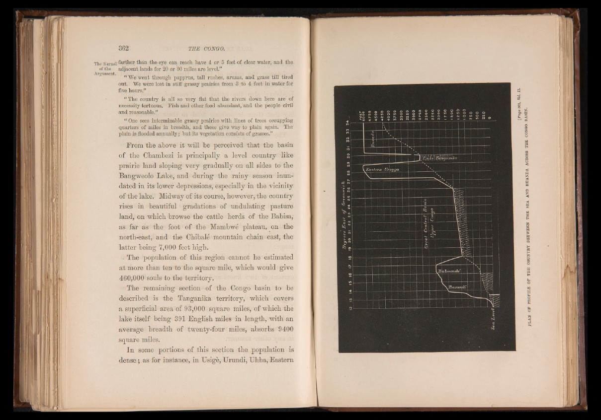
The remaining section of the Congo basin to be
described is the Tanganika territory, which covers
a superficial area of 93,000 square miles, of which the
lake itself being 391 English miles in length, with an
average breadth of twenty-four miles, absorbs 9400
square miles.
In some portions of this section the population is
dense; as for instance, in Usige, Urundi, Uhha, Eastern