repeated mention of a real forest, and a large one, but the
information was very vague, and, I suspected, purposely so.
Mohamed bin Saif told me that the Gallas lived in a big
forest, and I was informed that all the elephants came from
the Galla country. A boy who had been there said there was
a big forest, with trees large enough to make canoes. These
Wa-Galla were said to trade only in honey and ivory.
In illustration of the fear inspired in the Watiku by the
Gallas, I was told of a man from Tula having shot an elephant
and taken the tusks to his village, whereupon the Gallas
demanded them under threat of seizing some of the Tula
children and making them slaves, as well as declaring war.
The tusks were given up, accompanied by a propitiatory gift
of money. I also heard that only a few days back some
Gallas walked into Burkau, and killed and ate a sheep without
paying for it. These facts now made me understand the
reluctance of 'the head-man to help me to penetrate into the
Galla country.
The cultivation round Burkau was chiefly metamah, a little
sim-sim, and some tobacco. Cotton was not grown, but it
would grow well, and the Watiku stated that the whole
country from Mattaroni upwards was excellently adapted for
its cultivation. The Watiku extend along the coast almost up
to Kismayu, in scattered villages considerable distances apart,
owing to their jealousy and distrust of one another, particularly
on the part of the head-men. The names of the Watiku villages
north of Burkau were—
1. Tosha, six hours from Burkau.
2. Gudaki, one and a half hours from Tosha.
3. M’Dava (an island), one hour’s sail with S.W. wind.
4. Tula, also an island.
5. Shwe, another island.
6. Kwaijama, two hours south of Kismayu.
Mze Saifs authority was really only acknowledged as far
as Shakan, beyond which the Waze of each village mahaged
their affairs pretty well as they liked. Everything tends to
show the gradual decay of the Watiku from their former
position; they appear never to have recovered from their
overthrow by the Gallas.
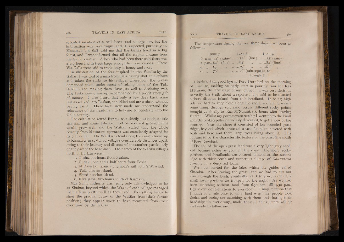
The temperature during the last three days had been as
follows—
Ju n e 8. Ju n e 9.
...72° (fine) ....... 720 (rainy)
• •84° 84° (fine)'
I 7 9 ° ......8i° „
.. 76° (rain-squalls* 76° „
at night)'
Ju n e 7.
6 a.m., 72° (rainy)
2 p.m., 84° (fine)
4 „ 79°
6 „ 76° Ì
I bade a final good-bye to Port Durnford on the morning
of June 10, making an early start in pouring rain for Ras
M’Narani, the first stage of my journey. I was very desirous
to verify the truth about a reported lake said to be situated
a short distance inland from this headland. It being high
tide, we had to keep close along the shore, and a long wearisome
tramp through soft sand across different rocky points
brought us finally to Ras M’Narani, six hours after leaving
Burkau. Whilst my porters were resting I went up to the knoll
with the broken pillar previously described, to get a view of the
country. Near the shore it consisted of low rounded grass
ridges, beyond which stretched a vast flat plain covered with
bush and here and there large trees rising above it. This
appears to be the characteristic feature of the coast-line south
of Port Durnford.
The soil of the open grass land was a very light grey sand,
and became richer as you left the coast ; the more rocky
portions and headlands are covered- almost- to- the water’s
edge with thick scrub and numerous clumps of Sansevieria
growing in a deep red loam.
We now started for the lake; which the guides called
Shamku. After leaving the grass land we had to cut our
way through the bush, eventually, at 5.30 p.m., reaching a
small swamp where we camped for the night. As we had
been marching without food from 6.30 a.m. till 5.30 p.m.,
I gave out doublé rations to everybody. I may mention that
I made it a rule only to take food when my people took
theirs, ànd seeing me marching with them and sharing their
hardships in every way,, made them, I think, more willing
and ready to follow me.