Mombasa, on the eastern side of the island, is one ; it is half
a mile in length and about two cables in breadth, with good
anchoring depths close to the shore on either side. The
anchorage is eleven to twelve fathoms water in mid-channel.
Port Tudor is a land-locked harbour on the north side of the
island, and is . reached by a narrow winding channel on the
east side of Mombasa Island, which has depths of from eight
to twenty fathoms, and more in places with bold shores.
There are few more beautiful places than this winding channel
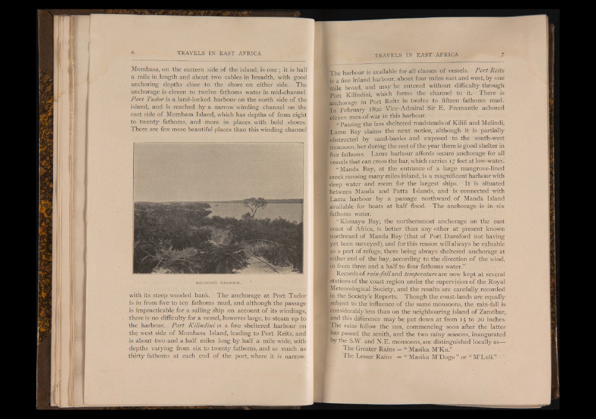
KILINDINI HARBOUR. '
with its steep wooded bank. The anchorage at Port Tudor
is in from five to ten fathoms mud, and although the passage
is impracticable for a sailing ship on account of its windings,
there is no difficulty for a vessel, however large, to steam up to
the harbour. Port K ilindini is a fine sheltered harbour on
the west side of Mombasa Island, leading to Port Reitz, and
is about two and a half miles long by half a mile wide, with
depths varying from six to twenty fathoms, and as much as
thirty fathoms at each end of the port, where it is narrow.
¡The harbour is available for all classes of vessels. Port Reitz
is a f i n e i n l a n d harbour, about four miles east and west, by one
jmile broad, and may be entered without difficulty through
Port K i l i n d i n i , which forms the channel to it. There is
fenchorao-e in Port Reitz in twelve to fifteen fathoms mud.
I n February i Bpd Vice-Admiral Sir E. Fremantle achored
eleven men-of-war in this harbour.
p “ Passing the less sheltered roadsteads of Kilifi and Melindi,
Lamu Bay claims the next notice, although it is partially
'obstructed by 1 sand-banks and exposed i to the south-west
monsoon, but during the rest of the year there is good shelter in
five fathoms. Lamu harbour affords secure anchorage for all
'-vessels that can cross the bar, which carries 17 feet at low-water.
p 1 Manda Bay, at the entrance of a large mangrove-lined
creek running many miles inland, is a magnificent harbour with
[deep water and room for the largest ships. It is situated
between Manda and Patta Islands, and is connected with
Lamu harbour by a passage northward of Manda Island
¡available for-boats at half flood. The anchorage is in six
/fathoms water.
i | Kismayu Bay, the northernmost anchorage on the' east
¡coast of Africa, is better than any other at present known
northward of Manda Bay (that of Port Durnford hot having
yet been surveyed), and for this reason will always be valuable
las a port of refuge, there being always sheltered anchorage at
[either end of the bay, according to the direction of the wind,
in from three and a half to four fathoms water.”’ .
I Records of rain-fall and temperature are now kept at several
[stations of the coast region under the supervision of the Royal
^Meteorological Society, and the results are carefully recorded
in the Society’s Reports. Though the coast-lands are equally
/Subject to the influence of the same monsoons, the rain-fall is
Iconsiderably less than on the neighbouring island of Zanzibar,
and this difference may be put down at from 15 to .20 inches.
■¡The rains follow the sun, commencing soon after the latter
lias passed the zenith, and the two rainy seasons, inaugurated
by the S.W. and N.E. monsoons, are distinguished locally as—
The Greater Rains = “ Masika M’Ku.”
The Lesser Rains = “ Masika M’Dogo I or “ M’Luli.”