Beyond this, the traveller emerges, upon a comparatively
waterless and barren country, extending to the foot of. the
higher interior plateau, the congenial home of cacti, euphorbia,
and' mimosa trees, and also exceedingly rich in varieties of
aloes and fibre-yielding plants.
Such are, in brief j outline, the chief physical characteristics
of the coast-lands.
The river system of a country forms a most : important
feature of its resources, both agricultural and commercial, and
in this respect British East Africa is not ill provided. Putting
aside minor streams, and watei-courses full only, during the
rains, we have first the Umba river in the extreme south,
forming the first part of our boundary with German Ea,st
Africa. Next the Sabaki, flowing through a rich, fertile, and
almost uninhabited country, ‘and entering the sea between the
thriving coast towns of Melindi and Mombrui. Although its
numerous shallow sand-banks entirely preclude navigation, the
river offers other facilities—apart from decided possibilities
in the matter pf irrigation— such as the floating down of timber
and raw fibre material, etc. About fifty miles further on, we
come to the more important Tana river, flowing into Formosa
Bay. A little above, again, is the Ozi river watering the very
fertile district of Witu, and entering the sea to the southward
of Lamu Island. These two rivers— the Tana and Ozi are
connected by thè artificial canal of Belesom, two miles in
length, which conveys the Tana trade into the Ozi river, and
thence to Lamu, for the mouth of the Tana is blocked by a
sand-bar. The canal joins the Ozi at the town of Kau, about
ten to twelve miles inland, whilst at the mouth of that river is
another town of importance, Kipini. To the north we have
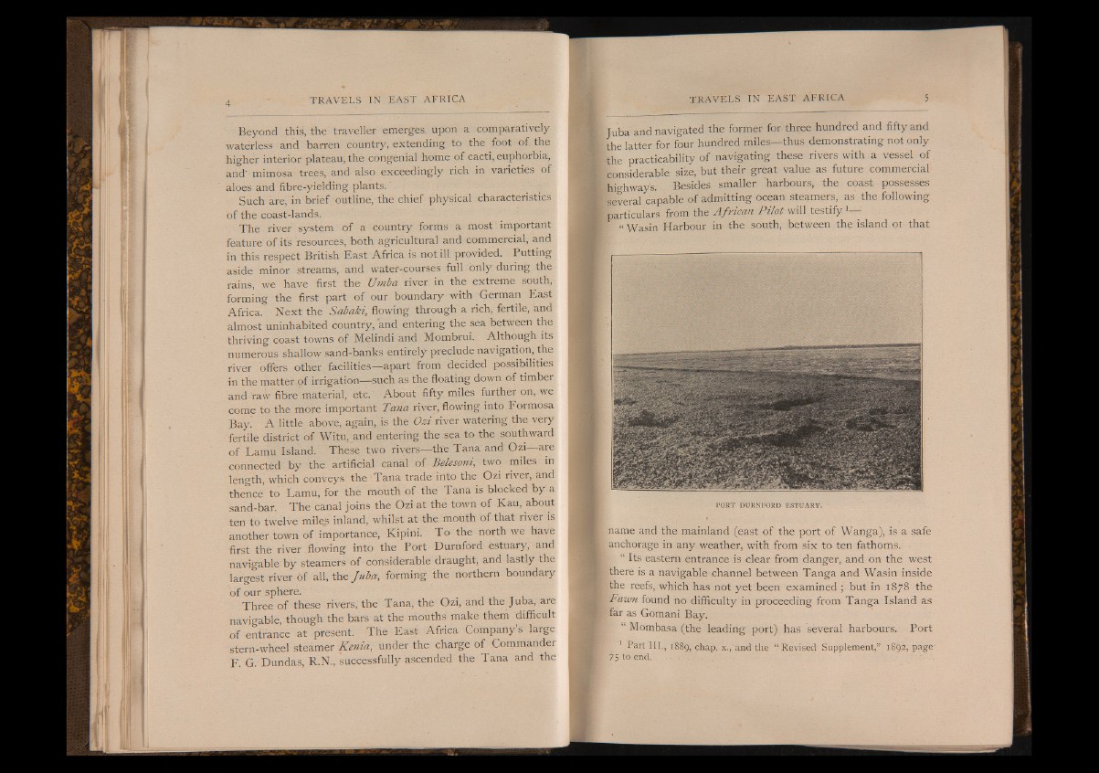
first the river flowing into the Port Durnford estuary, and
navigable by steamers of considerable draught, and lastly the
largest river of all, the Juba, forming the northern boundary
of our sphere.
Three of these rivers, the Tana, the Ozi, and the Juba, are
navigable, though the bars at the mouths make them difficult
of entrance at present. The East Africa Company’s large
stern-wheel steamer Kenia, under the charge of Commander
F. G. Dundas, R.N., successfully ascended the Tana and the
Juba and navigated the former for three hundred and fifty and
the latter for four hundred miles— thus demonstrating not only
the practicability of navigating these rivers with a vessel of
considerable size, but their great value as future commercial
highway's. Besides smaller 'harbours, the coast possesses
several capable of admitting ocean steamers, as the following
¡particulars from the African Pilot will testify1—
f “ Wasin Harbour in the south, between the island ot that
PORT DURNFORD ESTUARY.
name and the mainland (east of the port of Wanga), is a safe
anchorage in any weather, with from six to ten fathoms.
“ Its eastern entrance is clear from danger, and on the west
there is a navigable channel between Tanga and Wasin inside
the reefs, which has not yet been examined ; but in 1878 the
Wawn found no difficulty in proceeding from Tanga Island as
far as Gomani Bay.
“ Mombasa (the leading port) has several harbours. Port
Part III,, 1889, chap. x., and the “ Revised Supplement,” 1892, page'
75 to end. ■ ■' • - ' .