mmmm-
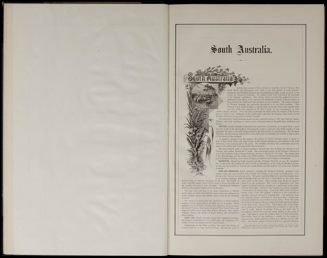
^0utlt ^xmtvâm.
includes that portion of the continent of Australia west of Victoria, Now
South Wales, and Queensland, and south of the 2(3th parallel of south latitude,*
Taking its vast Northern Territory into consideration, it ranks second in point of size
among the colonies of Australia. Its original limits were determined by enactment
of the Imperial Legislature, This statute, which conceded the authority to form a
settlement on the shores of St. Vincent Gulf, defined the territorj- of the new colony as
lying between the I32nd and 141st meridians of east longitude. The eastern boundary
of Western Australia was previously determiued to be the 129th meridian. Thus
between it and South Australia, a narrow sti-ip of country, abont three degrees wide,
was left, which was regarded as No Man'a Land. It was subsequently, in 1861,
added to South Australia. Two yeai-s later, an attempt was made, under the auspices of the Government.
to found a new settlement on the north coast; and thus the immense tract known as the
Northern Temtoty became added to South Australia.
The seaboard of South Australia proper was first examined closely in 1801 and 1802 by Captain
Fhnders. who took soundings at various places, and gave names to the gulfs, bays, h
POSITION,—South Australia is situated on the south coast of Australia, and extends from a point
the month of the Gleuelg River west along the southeru seaboard to the 129th meridian of east
longitude, the limit on the north being marked by the 2Cth parallel of south latitude. The Northern
Terntorv extends from the 2Gth parallel to the north coast of Australia, and includes a large portion
of the interior of the continent.
In regard to distance fi-om the equator, the position of South Australia proper is similar to
that of New South Wales and Cape Colony, in the southern hemisphere, and countries in the south
of Europe, in the northern half of the globe. The Northern Territory lies considerably nearer the
equator, the gi'eater part of it being within the torrid zone.
The most southern point of South Australia is situated near the dividing line between it and
Victoria, and reaches latitude 38° 2' south. The most northern point of the Northern Territory is
one of the headlands of the Cobourg Peninsula, and lies in latitude II® 10' south. The eastern limit
is the 141st meridian, and the western, the 129th meridian. It will thus be seen that South Australia
and its Northern Tei'ritoiy cover about 27 degrees of latitude, and 12 degrees of longitude.
BOUNDARIES.—Regarding South Australia and the Northern Territory as one, the boundaries
are ; on the north, the Arafura Sea and the Gulf of Caqjentaria; on the south, the Southeru Ocean;
on the east, the Colonies of Victoria, New South Wales, and Queensland; and on the west. Western
Australia.
FORM AND DIMENSIONS,—South Australia, including the Northern Temtory, presents a vei^
compact form, the only variation from sti'aight lines being on the north and south coasts. It is
oblong in the direction of noi-th and south. The great Australian Bight gives an indented appearance
to its southern seaboai-<l, while Cambridge Gulf and the Gulf of Cai-pentaria on the north, form
betsveen them a 1 esteusiva projection of the land. The length of
South Australia proper, from north to south, is about 800 miles, and
the breadth from east to west 700 miles, Including the Northeru
Territory, the greatest length is about 1,850 miles.
The total ni-ea, nccovding to the latest calcuiations, is 908,425
sriuai'O miles, of which about 880,070 square miles are embraced by
South Aiiatj'alia proper, and 528,855 square miles by the Northern
Territory.
~ The exteut of country under the jurisdiction of South Australia
comprises about three-tenths of the whole area of Australia, South
Australia and the Northei-n Territory are, therefore, about ten times
the size of Victoria, three times the size of New South Wales, and
larger by 1,500 square miles thau France, Germany, Italy, Spain,
Belgium, Turkey, the Island of Gi-eat Britain, and' S\vitzerland,
taken together.
COAST LINE,—South Australia proper has a seaboard, including
the priucipal indentations, of over 2,000 miles; the regularity of its
outline is broken by Speucer and St. Vincent Gulfs.
Commencing at the 141st meridian, the coast line follows a
westerly direction to Gape Xorthiunberiaiid. Beyond this jjoint it
turns moi-e to the north. After passing Cape Banks the general
trend is to the north-west. This course is maintained until Cape
Lannes is reached, with the exception of a small break in the outline
made by Rivoli Bay. North of Cape Dombey, the general regularity
is interrupted by Guichen Bay. From Cape Jaffa, which lies immediately
north of the 87th parallel, a direction to the north-east is
assumed, ending at the liead of Lacepede Bay, An unbroken coast
line stretches thence north-west to Encounter Bay. South-west,
west, and north-west courses follow to Cape Jerris. From this point
the dii-ection becomes north-east, north, and uorth-north-west, ending
at the head of St. Vincent Gulf. The westera side of this large
inlet is formed by Yorke's Peninsula, with a seaboard a little to the
west of south. Beyond Troubridge Point, on the north side of
Investigator's Strait, the coast line trends slightly to the south of
west. Cape Spencer marks the southern limit of Yorke's Peninsula.
The westei-n shore of this peninsula is washed by the waters of
Spencer Gulf, which penetrates inland to a distance of over 200
miles. The western mai'gin of Spencer Gulf has a general direction
c»lnl)lis}imi:ni^ot''t
fnrtUer south, form
loncss of tlie iinnic is fluently i^iicai
¿mti Wali"' '
.t tlie time
tUan a
>r the