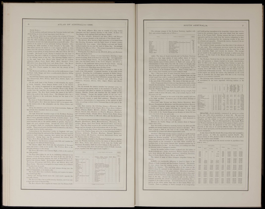
A T L A S OF AUSTRALIA—1886.
«oi'TH Slope.—
On the soiitliern seaboard, Ijetween the Yictorian border and Lake
AJesnndi-ina, no rivei-9 of any importance veacli tUe sea.
The Murray, «-liicli Ijas n course between the colonies of Vioto.
and New South Wales of about 1,200 miles, enters South Austm
near the Ul s t meridian, in latitude 84° 2'south. Its length fi'om
this point to its exit into Lake Alexandrina is nearly 400 miles. This
portion of its coui-se is of an extremely wiuding^ character, i
crossing ihe UOth meridian, it tiirn.-^ alirnptly to the south. The
lake which receives its watei-s is a rast ex])ause, shallow in i
parts from the extensive deposits of silt. Tl.e banks of the •
consist, in some places, of steep limestone cliffs, fi-om 100 to 300
in height. The mouth of the Murray is situated near the head of
Eucouuter Ray, and is difficult of entrance for shipping on account
of the shifting nature of the bar. The following streams reach it
on the right bank from Mount Lofty Baiige and its northern
extension Cwk, So>ilh Rhine Una', Creek,
mimdella Cret^l:, Lony Chilbj Creek, and Reedy Creek. The Bremer
and Jiijo.« Rivers flow into Lake AJexaudrina on its western side.
Ml
The its
The Si»dm. •sA a n Rii;
i'aters into the estuary of thi
se on the south-easter
)uth-easterly direccior
St, Vincent Gulf:—
Gaicter, Light, and
of Mount Lofty Range, and ha'
into Encounter Bay.
The following streams empty their wa
The Oukaimringa, Slurt, Torre,Li/tU
]rakefeld.
Ou the south bank of the Torrens is built Adelaide, the capital
of South Australia. Some distance farther north is the Gawler
River. Iti volume is augmented by two principal tributaries, the
North and Sonlh Para. North from Adelaide, Mount Lofty Range
recedes fi'om the coast liuo, thus giving to the rivers in this part
longer com-ses. The Bioer Liyhi reaches the watei-s of the Gulf a
little to the north of the Gawler River. The Wakejield River has a
general dii-eotion to the south-west, flowing into the head of St.
X'incent Gulf.
The i-ivers of Yorke's Peninsnla are o
The Broughtoii River flows into Sper
on the western side of this indentation
Tod Birerx.
in unimportant character.
T Gulf on its eastern side
re the Driver, Dution, an
Along the extensive coast line of the Gi-eat Australian Bight, as
has already been remarked, there are tio rivers.
Nobth Sloi'e.—
The high downs and mountain ranges of the Northern Territory
which give rise to its rivers, lie at a greater distance fi-om the seaboard
than do those, generally speaking, of South Australii
I proper.
consequence, the streams of this portion of the colony
important, and, as the annual rainfall is greater, they hi
:h watei-s
id from their
with these.
I lougitude
larger and more constant volume. Several
of a navigable depth for considerable distai
mouths. There is much yet to be discovered ii
and ample fitld for further esplomtion.
Commencing at the Queensland border, i
and proceeding along the seaboard of the Northern Territory,
numerous small streams emptying their waters into the Galf of
Carpentaria. Among these may be mentioned the Calvert, Abel
Tasmaii, Seven Emu, and Rohiimon Rivera.
The has its source in some roekj- hills, and reaches the
coast opposite Sir Edward Pellew Islands.
The Limmen Bight River flows into the indentation of the same
name, and forms a delta at its mouth. The ll'irJi;,«®! River is the
principal tributary of this stream.
The Tomis River flows into Limmen Bight, a little to the north of
the 15th parallel.
The Royer Rivr takes it? rise in an uudnlating tableland at an
elevation of about 700 feet above the level of the sea, and has a
general easterly direction, reaching the Gulf of Carpentaria at the
head of the Limmen Bight. Its priocijial tributaries are Chaniher«,
Wattrhm^e, Sln»,gvra,j>,, and IliV/oi, Rivera, and Bir,Um, Elxey, and
Eo^^r Creeks. This river is navigable for k rge vessels, for a distance
of 85 miles from its mouth.
The and Walker River„ are small streams fiomug into the
Gulf of Carpentaria on it.s western side.
The Goydtr River 1ms a nort
mpties it
into Castlereagh Bay.
narUji and Yarmijn CreeU reach the coast nearly opposite the
Crocodile Islands.
The Livrpool River has a north-easterly direction, and flows into
a lai'ge inlet west of Boucaiit Bay.
The EuM Alligator Rin-r empties its waters into Van Diemen Gulf,
The South Alligator River rises in comitiy of a vei^ broken
character, and has a general direction to the uorth. It flows into
Van Diemen Gulf, opposite Field and Barron Islands,
The TFe^i Alligator, rn'Mwa»'^, and Mary Rivers, and Thring's
Creek, are streams situat^ed on the south side of Van Diemen Gulf.
is a large proportion of its waters from
id the large extent of broken country
After flowing uoi-th-east, and finally
• head of Adam Bay. Ite principal
lis stream is navigable for sea-going
The Adelaide River dei
the Gwooling Monntains,
associated with these rang
north, it reaches the sea near
tributary is the Margarft River.
e the EliznMh, . •nd Blaehmùre
distal
Flowing into Port Da
Rivers, and Rocky Creek.
The Dnbj River, a strenui of some importance, draining a large
extent of country, flows north-west into Anson Bay. As it approaches
the sea, it forms a large estuary. Its principal affluent, the Katheri>ie,
rises near the head waters of the South Alligator, and follows a
direction to the south-west before joining the main stream. Among
its remaining tributaries are the Fergn^son and Flora Rivnrs.
The mziiianrice River flows west into Keys Inlet,
The main source of the rictoria River is situated a little to the
south of the ISth parallel. A general direction to the north is first
assumed. Roundmg the north-eastern extremity of Stokes Range,
this river flows west-north-west, emptying its waters into Queen's
Channel. It has sevei-al important tributaries, among which may be
mentioned Camfield, Wickhnm, Humbert, and /iavifx Rivers, and
Sullivan's, Gregory's, Stevens, &iUi, Jasper, Timber, and Show's
Creekn.
IKLAKI) SLOfE.—
The fall towards the interior includes four principal areas, but
for several reasons, among which is the smallness of rainfall, there
are connected with these no streams of importance. Lakes Eyre,
Gregory, Blanche, Frome, and Amadeus are the centres of this
inland di-ainage. Dni-ing the greater portion of the year there
i httle or no flow in the creeks and rivei-s, and only diy beds and
•om channels remain to mark their existence. Waterless rivei-s,
distinctive characteristic of a large portion of the iuterioi- of Australia,
are perhaps nowhere better illustrated than
continent.
Lake Byre receives the following streams :—Tr<irJurion
Burno Rivr or Cooper's Creek, Clayton River, Frome River, Callamia,
Nelly^ Frances, SrnUh'^ Mo,-ri.->'s, AlLer>-ie, Wergawerangerilinna,
er7,xif. Screech Old, Chamhere or Stuart\ Margaret, Wa,-riner's,
id Cooinchina Creeks; Dougla.'' River, Umbum Greek, Neales River,
Koorakarinna Creek, Trejier or Macumba Rivfr, and the Kallakoopah
Creek.
The following streams terminate in Lakes Gregory and Blanche
Mosquito, Eooreeninna, Hawk, Manuwalkaninna, Waranimia, Tooncatehyin.
Mirage, Duck Pond Creeks, Macdmmell River, and Sandy
Creek. They have their sources in the north em extension of Flinders
Range, and are situated on the south-western side of the lakes.
The fall towards Lake Frome, which is determined by the northern
portion of the Flindei's Rauge, gives rise to the following streams :—
Paralaiui, Arkaruola, ITwiiaji«, Maniluna, Nepoui'', Bulcanooiia,
Oulouie, Mt. Chamber», Bendicula, Balroracaua Greekt, aud
the Pasemore Rivtir or Wilpena Creek.
Lake Amadeus, situated in the Northern Territory aud extending
it into Western Australia, receives the waters of Rebecca, Docker,
Sull, Shaw, Irvine, and Armstrong Creeks from the Curdie and
Petennann Mountains, which lie a short distance to the south of it.
The following table shows the principal rivers of South Australia
proper, together with their approximate lengths:—
s part of the
S O U T H AUSTRALIA.
The principal streams of the Noi-thern Territory, together with
ir approximate lengths, are as follows :—
)r Enst
Lakes.—The lakes of South Austi'alia and its Northern Territory
consist, to a very large extent, of mei-e surface sheets of w
increasing or decreasing in size according to the seasons. After
heavy i-ainfall, many of them present, in depth and extent, all thi
characteristics of true lakes, but, with the return of drought, they
become swamps and niai-shes, and not infrequently dry up altogether.
Among the more prominent examples of the non-permanent class is
Luke .•lj»KKÍei<«, in the Northern Territory. Many of these lakes are
salt, in some cases brackish, and in a few instances fresh.
Eyre.—This large sheet of water forms two basins known ns Lake
Exjre North and Lake Eyre South. It is of an irregular form, and has
a total length fi-om north to south of about 1-50 miles. Its main body
is situated between the 28th and 29th parallels, and almost entirely
to the east of the 137th meridian. The waters of this lake are salt,
Lakis G^'egory and Blanche form one long depi-ession, which widens
towards the extremities. It has a dii-ection from north-west to southeast,
and receives the drainage fi-om the north-eastern face of a spui
fiom the Flinders Ra
3V-rivíw.—Torrens
ige.
Its waters a-
. vast shallow expanse, having a length, from
. south of about 1-iO miles, with a fall towards Spencer Gulf.
Ì salt.
Luke Frame is situated to the
lortli of the 3Ist parallel, and west
;s part of the eastern drainage of
! Lukes Duttom, Windabimt, ilari,
e, and Pernatty and Island Lagoons.
imong the larger lakes of South
of the 140th meridian. It recei^
Fliudei-'s Range.
West from Lake Torrens ai
Eajimn, ym,A,yhv.shand, Maefarlm
Gairdner.—Gairduer ranks i
Australia, and has a length, follo^ring its curved foi-m, which
approaches a meridional direction, of over 100 miles. It lies a little
to the north of the Gawler Range, at an elevation of about
above the level of the sea, and is salt.
Immediately west of Lake Gaii-dner are the smaller depressions
known as Lah'.-' Harris, Everurd, and Acraman. Lake Labyrinth
situated a little to the north of the 8Ist parallel.
Between the Gawler Range and the western shore of Spencer
Gulf is Lake Gilles.
Near the border of Western Australia, between the 29th and SOth
parallels, are several shallow depressions known as salt lakes. These
form a group a little to the west of the Leister Hills, and are
surrounded by a dense and almost impenetrable scrub.
4«in,ifHs.—This krge marshy expanse extends in a north-westerly
direction from the 25th parallel and lougitude 131° 30', across the
border into Western Australia. It is of a tapering form, and has its
widest part between the I29th and 130th meridians. It is only after
heavy rainfall ou the mountains to the south, which constitute the
southern limit of the country dramcd, that Amadeus assumes any of
the characteristics of a lake. At otiier times, it is nothing more than
an immense series of swamps or marshes.
Among the smaller bodies of water scattered over the surface of
South Australia are -.—Lakes Arndoaana, Willara, Gnyder or Goolan.
girie, Lndy Blanche, Sir Rirhard, Atckoornao, ApanUirra, yarowinie,
Eope or Pnndo, Homtt, Florence, Harry, and Uawdon.
Tho watei-s of many of these disappear altogether during dry
CLIMATE,—A considerable difference is fouud to obtain in the
climato of South Australia and the Northern Territory. This results,
to some extent, from tho varying position of its vast territory as
regards the Ecjiiator, The modifyiug effect of the ocean on the
districts along the seaboard is also noticeable when compared with
tho clinuvtic conditions of the great interior. Elevation is, ¡lerhaps,
the least importiint factor in the general result, as only o very small
portion of South Australia attains any consiilerable altitude above the
level of tho sea. .\round the metropolis, and on the so.ithei-n
seaboard generally, the climato i.s genial, much resembling that of
countries in the south of Etiropo, It is ^vell known for its salubrity,
aud is, on the whole, milder than that of Niiw South Wales and
Victoria. There is, perhaps, no better example of an invigorating
and health-giving atmosphere in the Australian oolonies, than is to bo
found on the mountain slopes, a few miles inland from tho ©astern
shore of St. Vincent Gulf. During summer, the heat is sometimes
oppressive, and the hot winds from the interior, exhausting in their
effects on the constitution, but the remaining months of the year
are pleasant and enjoyable. Towards the intei-ior, dryness of the air
becomes a prominent characterietic.
The rainfall of South Australia is less than that of the colonies of
the east coast. The south-eastern provinces receive the most rain,
condensation showing a marked decrease along the coast line of the
great Australian Bight, and towards the interior. The average
annual rainfall in the neighbourhood of Adelaide is rather more than
20 inches; on the slopes of the Mount Lofty Range it exceeds 30
inches annually.
The Northei-n TeiTitory lies, for the most part, within the torrid
zone, and possesses a climate tropical in its main characteristics.
Here we find a wet season, extending from October to April, the
remaining months of the year being almost entirely fi'ee from rain.
The temjjeraiure throughout the summer is very high, frequently
ranging above 100° Fahr. in the shade, and the climate tests the
constitutions of Europeans severely. The less favoui-able conditions
in this respect are among the reasons why settlement on the north
coast of Australia has not kept apace with that on the remaining
portions of its extensive seaboard.
The following table iUustrates the principal elements of climate
as ascertained at the more important observing stations in the
colony;—
POPULATION.—South Australia commenced its career as a colony
in the year I83C, with a population of about &46. The previous
discoveries of Captain Sturt created some excitement in the United
Kingdom, and the scheme to found a new settlement gradually
assumed importance. The evil effects produced in New South AVales
and Western Australia by the system of free grant.« of land to settlers
were so evident, that the projectors of the new colony decided to
proceed, in this case, on an entirely different basis. The land was
sold at a fixed upset price, and the proceeds devoted to the assistance
of poor immigrants.
At the close of the first decade the young colony had increased to
25,803 persons. In 1856, the population reached 104,708. The
Census returns of 1881, showed a total of 286,324, and at the end of
1S85, the numbers were 313,423.
The following table shows the annual increase in population from
183G to 1885:—
Iñ'i.SOS
1IÍ3.452
1J2,6B0