S O U T H AUSTRALIA.
Foi-ster, Hamilton, Hay, Hugh, Giles, Zeil, and Crawford are among
the more prondneiit elevations. The Waterkouse, Jamve, Krichauff,
Gardiner, George G-iU, Se'jmoiir, CkunrUer, and Johuitcm Moimtaivs,
lie to the south of the Macclonnell Ranga. To the west, immediately
north of the southern tropic, are the peaks which group around
Mount TJdor. From this point, towai-ds Lake Amadeus, there is a
fall of at least 800 feet, the descent being composed of a series of
ridges of deci-easing elevation.
Reynold's Mountain», Reap MnoU Hills, and Saiin Mountains are
situated between the 22nd and 28rd parallels. An extension of the
former, described as a blu3 range, has a direction more to the south.
Central Mount Wedge, in this chain, attains an elevation of 1,300
feet. Some distance west from Reynold's Mountains is the JVeiwr
Bnnge. The Hardy, Singleton, and Farewell Mountains lie to the
north, and the Davenport and Eclipse Mountains to the south of the
Treuer Hange. Between the 21st and 22nd parallels, and north of
the Reynold's Mountains, are the Förster Mountains and Central
Mount Stuart. Immediately south of the 21st meridian are the
Oifcome and Craw/ord Mountains. Mount Strzelecki is a prominent
elevation in the latter. Between the 19th and 21st parallels, in the
vicinity of the Overland Telegraph Line, are foimd Murchison,
MeDouall, and Shwt Ranges. Extending north from Render Springs
to the Bay of Biscay Plains, is the ÄsUurton Range. Near the 18th
parallel, and forming the source of the Victoria River, which flows
north and north-west to the northern seaboard of the continent, is a
range of sandstone foimation, amidst a large extent of well-grassed
plains, suited to the rearing of sheep and cattle. There are peaks in
these mountains reaching an elevation of 1,600 feet above the level
of the sea.
A short distance inland from Queen's Channel, into which the
Victoria River falls, extending south-west from the left bank of that
stream, are the MiircMson and Newcastle Ranges. Mounts Victoria
and AiTowsmith are prominent peaks in the former.
Stokes Range lies immediately north of the 16ti parallel, and
forms part of the -watershed of the Victoria River. It spreads out
- towards the east as a tableland, with an elevation of about 900 feet
above sea-level.
Sea and Eile^iere Ranys extend in a north-east direction from
the right bank of the Victoria River, and reach a height of from 700
to 800 feet.
Near the mouth of the Fitzmaarioe River is the McAdam Range,
and extending bat'k from the coast line, in the neighbourhood of
Point Pearce, is the Sjigarloaf Range.
The G^ooliiu) Mountains lie between the 13th and Ut h parallels,
and give rise to several of the tributaries of the lEary Eiver.
The Jamison Moimtains have au east and west direction, and
bound part of the basin of the Roper River on the north. Towards
the western shore of the Gulf of Carpentaria, on the right bank of
the same stream, are the Hart Mountains, and on the left bank are
St. Michaeh and the Calder Mountains. The Wellington Sills are
situated on t i e north coast, a short distance inland from Ross Point.
The mountains of South Australia may be summarised as
follows ;—
1. Mount Lofty Hange.
2. Flinders Range.
8. Hummocks Rango.
4. Gawler Range.
5. Turret Range.
0. Stuart Range.
7. Warburton Range.
8. Denison Range.
9. Davenport Range.
10. Hanson Range.
11. Mabel Range.
12. Emer}' Range.
13. HawdonRauge.
14. Eagot Mountains.
15. Anthony Range.
10. Avers Rango.
17. Masgrave Rauges.
18. Mann Monntaius.
19. Deering Hills.
20. Tomkinson Range.
31. Blyth Range.
The following is a summary of the mountain ranges of the
Northern Territory:—
1. Petermann Rauge.
2. Rawlinson Mountains.
3. Hart Mountaius-
4. Fei'gussou Mountains.
5. Georgina Mountains.
(5. Strangwaya Mountains.
7. Macdonnell Mountains.
8. "Waterhouse Mountains.
9. James Mountaius.
10. Gardiner Mountains.
11. Krichauff Mountains.
12. George Gill Mountains.
18. Seymour Mountains.
14. Johnston Mountains.
15. Chandler Mountains.
16. Reynolds Mountains.
17. Reap Hook Hills.
18. Hann Mountains.
19. Treuer Range.
20. Foi-stor Mountains.
21. Osborue Mountains.
22. Crawford Mountains.
23. Mui-ohison Ranges.
24. McDouall Ranges.
25. Short Range.
26. Ashburton Range.
27. Murchison Rauge.
28. Newcastle Range,
29. btokes Range,
30. Sea Range.
31. Elleamere Range-
82. McAdam Range.
88. Sugarloaf Range.
84. Gwooling Mountains.
35. Jamison Mountains.
30. Hart Mountaius.
37. St. Michael's Mountains.
38. Calder Mountains.
30. Wellington Hills.
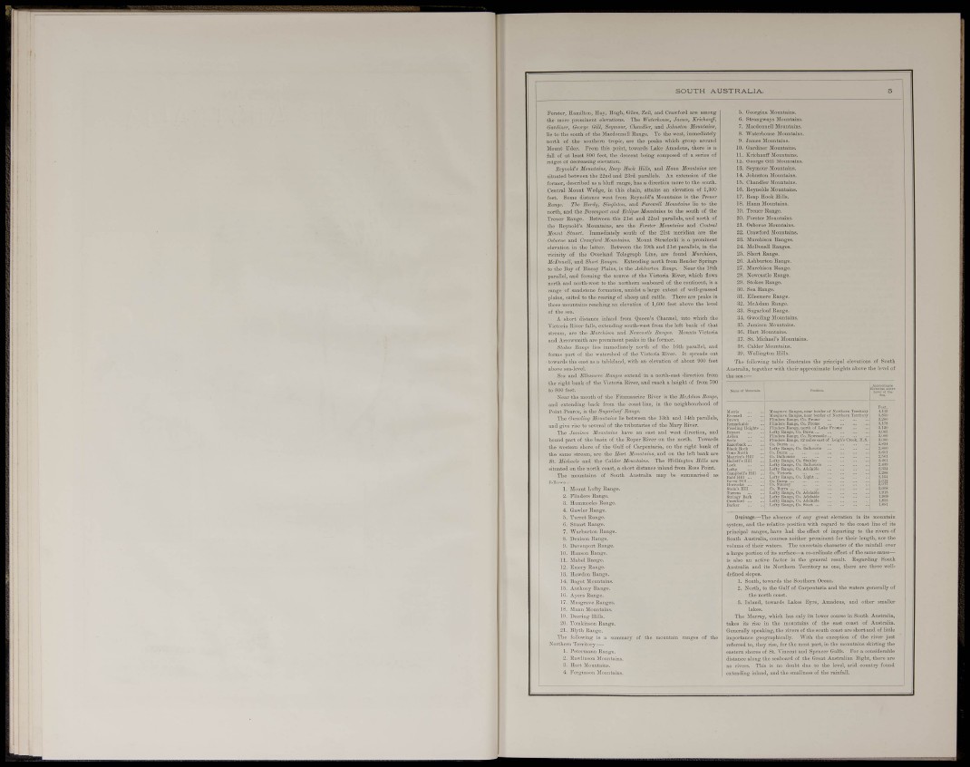
The following table illustrates the principal elevations of South
Australia, together with their appi-oximate heights above the level of
the sea:—
•SS"
nomarkiibli;
Preellng lleighB
Bryant ...
lluseravc Itadgos, nci
FliiiOors Itniigc, Co. 1
•ndc^Bany^O
of Lake Frone
Loft?
Campbell's.
Bald Hill .
Burra Hill.
StTiiisy Bill
Omwfonl .
Barker
18 Range. 12 müeä cast of Leigh's Crtek. H.:
Ix.fty Hange, Co, Dalbousio
Lnftv Itaiige, Co. AdaUide
Lofty Ringe, Co. Adelaide
Lofly Banpj, Co. Kturt ...
Drainage-—The absence of any great elevation in its mountain
system, and the relative position with regard to the coast line of its
principal ranges, have had the effect of imparting to the rivers of
South Australia, courses neither prominent for their length, nor the
volume of their waters. The uncertain character of the rainfall over
a large portion of its surface—a co-ordinate effect of the same cause—
is also an active factor in the general result. Regarding South
Australia and its Northern Territoiy as one, there are three welldefined
slopes.
1. South, towards the Southern Ocean.
2. North, to the Gulf of Carpentaria and the waters generally of
the north coast.
3. Inland, towards Lakes Eyi-e, Amadous, and other smaller
lakes.
The Murray, which has only its lower course in South Australia,
takes its rise in the mountains of the east coast of Australia.
Generally speaking, the rivei-s of the south coast are short and of Uttle
importance geographically. With the exception of the river just
referred to, they rise, for the most part, in the mountaius skirting the
eastern shores of St. Vincent and Spencer Gulfs. For a considerable
distance along the seaboard of the Great Australian Bight, there are
no rivers. This is no doubt due to the level, arid country found
extending inland, and the smallness of the rainfall.