ATLAS OF AUSTRALIA—1SS6.
PHYSICAL FEATURES,—Compared mtb the eastern part of the
continent. South Australia presents a minimum of variety in the
physical aspect of its surface. Mountains and valleys there are; but
generally speaking, these features are less prominent than on the
Pacific seaboiiril, It 1ms already been noticed that along the east
coast of Austi-alia, a Cordillera has been found to extend from the
noi"them extremity of Queensland, almost to tie western side of
A'ictoria, preserving a pavalleHsm to the shore-line of those colonies
throughout its length. Though numerous ranges—some of them of
considerable elevation—diversify the surface of Sonth Australia and
the Noi'theni Territory, a mountain system on so large a scale as
obtains within the limit« of the eastern colonies, forms no part of its
features. Except in the vicinity of Cape Jervis, St. Vincent and
Spencor Gulfs, much of the eoiintty extending back from the margin
of the Southern Ocean is of a level nature. This chai-aeteristic is
also a mai-ked one throughout the interior. Low ranges break the
monotonous sameness at long intervals, but these are of inconsiderable
extent when viewed in connection with the vast plains with which
they are surrounded,
Towards the south-east part of the colony, in the counties of Grey,
Eobe, Jlacdonnell and Buckingham, there are many indications of
volcanic activity during past ages. Much of tlie suri-ounding country
is of a very interesting character, being fertile and well suited to
agriculture. In other places, barren plains are found, and extensive
marshes. Rich alluvial lands occur on the banks of the Murray at
various points of its course throughout South Australia. To the east
of the North-west Bend, on the Jfiirray, occur extensive tracts of
inallee and other scrubs, intei-sected at intervals with open grassy
plains. North-east fiom Lake Frome, the country has a general fall
towards the west and south-west, crossed in some places by low sandbUIs,
covered with cypi-ess. In the vicinity of Lake Lipson, near the
Queensland border, high ridges of sand are foimd. Immediately to
the north of these are the Hope Plains, which are of a fertile natui-e,
and suited to sheep-forming. Around the evei'-changing margins of
many of the large lakes, occur extensive marshes, and immense tracts
of a swampy character. North from Lake Gairdner, scrubby plains
alternate with sand-hills and open grassy areas. The llusgrave
Eanges form the northern limits of a large extent of open, wellgrassed
plains- Proceeding north, and as Sturt's farthest point in
1845 is approached, general aridity, and many of the characteiistics
of the desert, present themselves. Spinifes, saltbnsh, and some other
lowly forms of the vegetable kingdom, are the only evidences of life
found, and there is almost a total absence of water. Though very
large areas have been taken up in various parts of the interior for
pastoral purposes, there yet remain immense ti-acts which, on account
of their barren and almost waterless character, continue unoccupied.
Towards the soaboard of the Northern Territory are found high
downs, rising, in some places, into tablelands of considerable extent.
T t e j form a portion of the great elevated tract which is found, for
the most part, encircling the continent. These downs, tablelands, and
low ranges give rise to numerous streams, flowing north into the
Gulf of Carpentaria, Arafura Sea, and the Indian Ocean. An
altitude of from 500 to 800 feet above the level of the sea is attained
on the tablelands and downs. Large areas are hold in this part of the
Northern Territory for pastoral purposes.
Mountains—With the exception of the ranges which take their
rise near Cape Jervis, and follow a course nearly paraEel to the
eastern margins of St. Vincent and Spencer Gulfs, extending north
to the vicinity of Lake Blanche, the mountain chains of South
Australia and the Northern Territory are of a detached character.
They are found scattered over different parts of the colony, and do
not, as a rule, i-each any very great elevation, prominence in some
cases being due to the vast extent of plains which i-adiate from them
The ranges on the east side of St. Vincent and Spencer Gulfs
receive different names between their extreme termini. That portion
which takes its rise on the coast near Cape Jervis, is known as
Mount Lojiy Range. It has a north-easterly direction, and inci'eases
its distance from the waters of St. Vincent Gulf as it proceeds inland.
The highest peak, situated nortb-noi-th-east from Adelaide, is Moiint
Brj-ant, which reaches an elevation of 3,065 feet above the level of the
sea. Farther north, the names Barossa, BeMihre, and Bryant are
associated with these mountains. The Flinders Ranije extends from
a point near the head of Spencer Gulf, in a northerly direction, to
within a short distance of the southern shore of Lake Blanche. It is
generally of a rugged character, and attains an elevation, in some
places, of over 3,000 feet above the level of the sea. Mounts Brown
and Remarkable, which reach an altitude of 3,200 and 3,178 feet
respectively, are its culminating points. Farther north, are Jlouiits
Arden and Serle, with a height of about 3,000 feet. The Tlummocha
Range lies near the eastern margin of Spencer Gulf, and forms a
low continuation south of the Flindei-s Range, It tenninates near
the northern extremity of St. Vincent Gulf.
Oaitler Ranyn.—The Gawler Range is somewhat curved in form,
and extends from a point near the head of Spencer Gulf, west
beyond Lake Gairdner, towards the southern shores of which it sends
off several spm-s. Its principal peaks are Mounts Separation, Nonning,
Kolendo, and Sturt. The first-named mountain reaches an elevation
of 1,800 feet above the level of the sea. Between these mountains
and the western shore of Spencer Gulf tlere is an extensive tablelaud,
Avitli nn altitude of about 1,800 feet. Much of the country in
the vicinity is covered with mallee and other scrub-growths.
Turret Ravye.—These mountains form a low chain of inconsiderable
extent, situated to the south-west of Lake Eyre South, and give rise
to several small streams which, during favourable seasons, add their
waters to those of the lake.
Stuart Range.—The Stuart Bange follows a direction from southeast
to north-west, and forms the limit, on the west, of the slope
towards Lake Byre. On the flanks of these luonntains, in various
parts, there is good pastoral country, in some places well grassed.
To the south-east are found large open plains.
Warhwtoti Range.—The Warburton Range lies a short distance
west from Lake Labyrinth. Alluvial plains, well grassed, ave found
alternating with sand-hills in the conntiy ai-ound. Numerous salt
lagoons occur in the vicinity.
Benüoti and Davenport Ranges.—These mountains are situated
some distance west from Lake Byre North, and determine a slope
towards the waters of the lake. In the valleys, formed by their
n\imerous low spurs, are various watercoui-ses, the volumes of which
are only noticeable after rainfall.
A little to the north of the Denisou Mountains is the Hanson
Rajige. Mounts O'Halloran and Harvey are among its prominent
The Mahel, Emery, and Eamlon Ranges lie between the 26th and
27th parallels, and foi-m the eastern limits of part of the basin of the
Stevenson River.
The Bagot Mountains are of an irregular chai-acter, and separate
the valleys of the Hamilton and Stevenson Rivers,
The .Jn/?i07!i, Range is situated to the south of the 26th parallel,
and immediately west of the I34tb meridian. The Stevenson River
derives part of its waters from these mountains.
Ayers Range has a direction between north-east and south-west, a
little to the north of the 26th parallel. Its culminating points are
Mounts Barrow and Reynolds,
The M^iegrave Ranges are composed of several parallel chains,
running in an east and west direction, and reach an elevation, in some
places, approaching 2,000 feet above the level of the sea. Within
these mountains are the sources of the Marry at, Agnes, and Glen
Ferdinand Creeks. The highest peaks are Mounts Woodroffo, Davenport,
Mon-is, Elizabeth, Carnarvon, Everai-d, Officer, and Ferdinand.
The Mann Mountuina form a western extension of the Musgrave
Ranges, Mounts Charles, Samuel, and Edwin are among the most
elevated portions of this range.
The Leering Hilh are situated a short distance south from the
Mann Jlountains.
The Tomhineon Range rises near the western boundary of the
colony, and extends into Western Australia, A short distance to the
south, and also crossing the boi'der into the colony of the west coast,
is the Bhjth Range.
South, a short distance from the southern shore of Lake Amadous,
is the Petermann Range. Associated with it are Curdie, Bowley,
Blood, and McNicol Mountains. A. western extension of those ranges
into Western Australia is known as the RawUnsmi Mountains. They
form, as a whole, the southern limits of tbe urea driiined by Lake
Amadeus. Stevenson Peak, a prominent elevation, reaches an
altitude of nearly 1,500 feet above the level of the sea. There are
also Mounts Phillips and McCulloch. The sun-ounding eountiy is
said to be of a superior quality for pastoral pui-poses.
North-east and east from Lake Amadous, between the 23rd and
25th parallels, ai-e numerous short ranges, in some places forming
groups, in others, of a more or less detached chai-acter. The
/Tnri jl/n«>i<aMi« are situated immediately south of the 23rd parallel,
and west of the 135tlnneridian. It might, perhaps, here bo remarked,
that the genei-al direction of the ranges in this ])ortion of the interior
is latitudinal or approximately so. East from Alico Springs, on the
Overland Telegraph Route is a series of parallel i-anges, known astho
Fergmson, Georgina, and Sl/rangwaijs Moumtain«. These form tho
watershed on the norlli side of tho Todd River. The MucdonncU
MojinlainH are situated rioar the tropic of Capricorn, and extend west
fi'om the sources of the Toild River, Mounts Solitaire, Bverard,
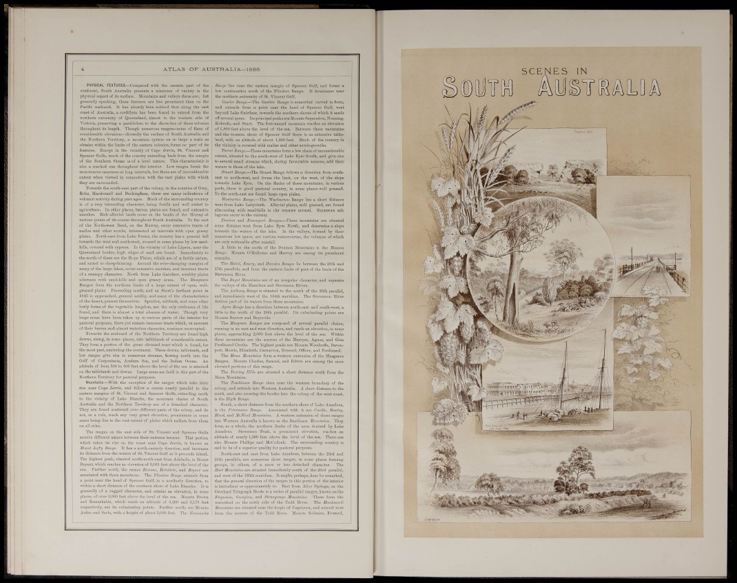
SCENES IN