COAST LINE—Taking the principal iodentatiODS iuto cousideration,
Quceusland possesses n coast liue of about 2,200 miles. The pi-oportioD
of sea-coast to surface is therefore about 1 of tlio fonnei- to 304
of the latter. In New South Wales, there is 1 miie of coast to
888 square miles of superficial esient, aud iu Victoria, tbo proportion
is I ill 146.
From Point Dau^rer, uortl. to Hervey Bay, the seaboa.-d has a
general direction a little to the west of north; thencc to the 20th
l)arftllel there is a trend to the noi'th-Tvest, with numerous inlots
and island groups. The direction from Capo Edgecumbe to Halifax
Eay bocoiues moi-o •westerly. Between the lOth and I4tb pai-allels,
till- course is to the north-west. Princess Charlotte Bay pi-oducos
a deviation for a short distance to the south-west; thence north
to tbo extremity of Cnpe York, the direction varies between north
and north-west. The Gulf of Cai-pentaria forms the princijjal feature
on the north const, the dii-ection of the seaboard from Capo York to
the head of the gnlf being between south and soath-west; the
remaining portion has a general trend to the wesr^nortb-west, which
is continued beyond the eastern boundary of the iiorthera 'I'eiTitory of
South AustraHa. i
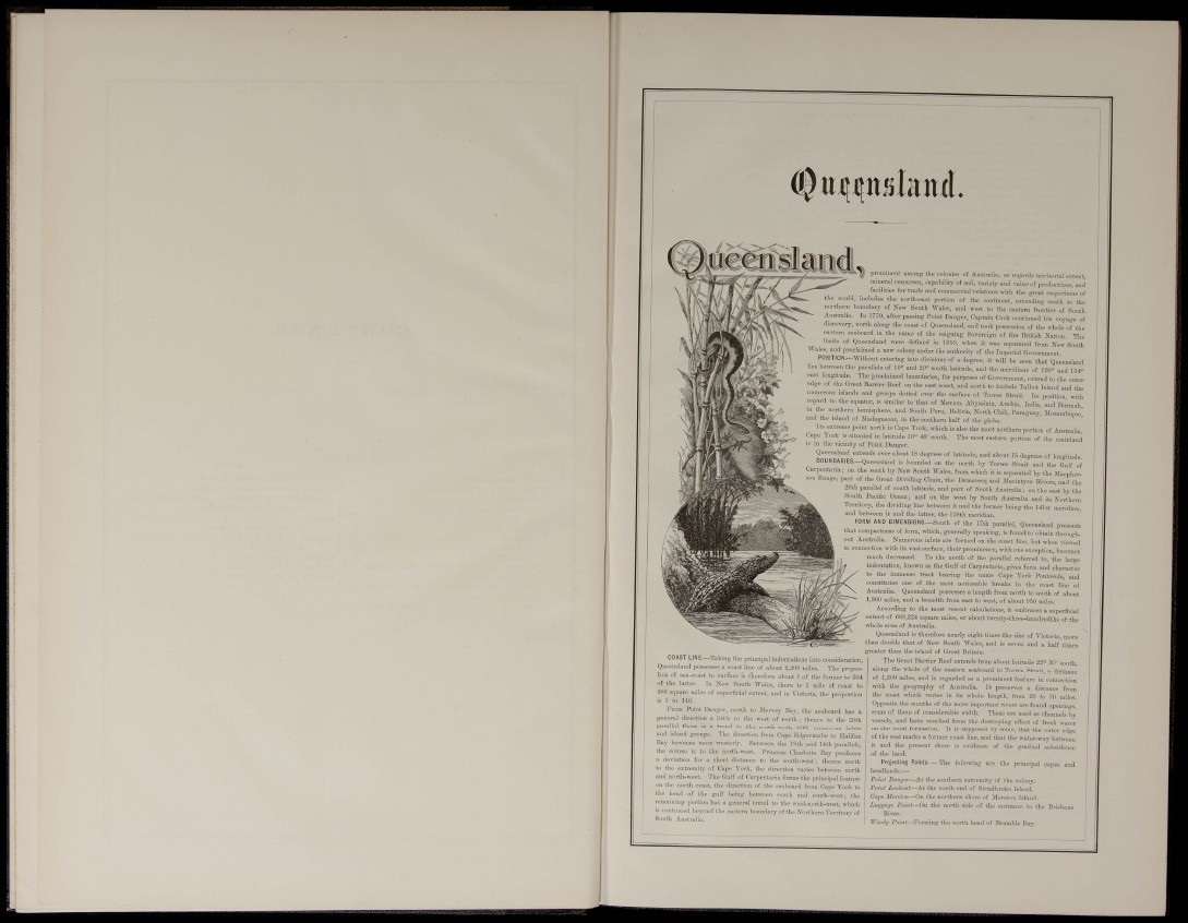
prominent among the colonies of Aastralia, as regards territorial extent,
mineral resources, capability of soil, variety and value of productions, and
facilities for trade aud commercial relations with the great emporinm.s of
the worid, includes the north-east portion of the continent, extending south to the
norfchei-n boundary of New South Wales, and west to the eastern frontier of
Australia. In 1770, after passing Point Danger, Captain Cook continued his voyage of
discovery, north along the coast of Queensland, and took possession of the whole of the
eastern seaboard in the name of the reigning Sovereign of the British Nation The
of Queensland were defined in 1859, when it was separated from New South
Wales, and proclaimed a new colony under the authority of the Imperial Government.
POSITION.—Without entering into divisions of a degree, it wiU be seen that Queensland
lies bet^veen the pm-allels of 10° and 29' south latitude, and the meridians of 138» and 154»
longitude. The proclaimed boundaries, for purposes of Government, extend to the outer
of the Great Barrier Reef on the east coast, and north to include Talbot Island and the
islands and groups dotted over the surface of Torres Strait, Its position, with
regard to the eqnator, is similar to that of Mexico, Abyssinia, Ai^bia, India, and Burmah
m the northern hemisphere, and South Peru, Bolivia, North Chili, Paragu.^y, Mozambique,
and the island of Madagascar, in the southern half of the glebe.
Its extreme point north is Cape York, which is also the most northern portion of Austnilia
Cape \ork is situated in latitude 10° 48' south. The «ost eastei-n portion of the mainland
IS m the vicinity of Point Danger,
Queensland extends over abo.it 18 degrees of latitude, and about 15 degrees of longitude.
. d is bounded on the north by Torres Strait and the Gulf of
Carpentaria; on the south by New South Wales, from wJiich it is separated by the Macpher-
Range, part of the Great Dividing Chain, the Dumaresq and Macintyi-e Rivers, and the
29th parallel of south latitude, and part of South Australia; on the east by the
South Pacific Ocean; and on the west by South Australia and its Northern
Territory, the dividing line between it and the former being the I41st meridian,
and between it and the latter, the 188th meridian
FORM AND DIMEN8ION8.-South of the 17th parallel, Queensland presents
that compactness of fom, which, generally speaking, is found to obtain throughout
Australia. Numerous inlets are formed on the coast line, but when viewed
in connection with its vast surface, their prominence, with one exception, becomes
much decreased. To the north of the parallel referred to, the large
indentation, known as the Gulf of Carpentaria, gives form and character
to the immense ti-act bearing the name Cape York Peninsula, and
constitutes one of the most noticeable breaks in the coast line of
Australia. Qneenslaud possesses a length from north to south of about
1,300 miles, and a breadth from east to west, of about 950 miles.
According to the most recent calculations, it embraces a superficial
extent of 668,224 square mUes, or about twenty-three-hundredths of the
whole area of Australia.
Queensland is therefore nearly eight times the size of Victoria, more
than double that of New South Wales, and is seven and a half times
greater than the island of Great Britain.
The Great Barrier Reef extends from about latitude 22° 30' south,
along the whole of the eastern seaboard to Torres Strait, a distance
of 1,200 miles, and is regarded as a prominent featui-e in connection
with the geography of Australia, It preserves a distance from
the coast which varies in its whole length, from 20 to 70 miles.
Opposite the mouths of the more important rivers are found openings,
some of them of considerable \vidth. These are used as channels by
vessels, and have resulted from the destroying effect of fresh water
on the coral formation. It is supposed by some, that the outer edge
of the reef marks a former coast line, and that the water-way between
it and the present shore
of the land. evidence of the gradual subsidence
Prcyeoting Points—The following the principal capes and
headlands ;—
Point Danger—^At the southern esti emity of the colony.
Point Lookout—At the north end of Stradbroke Island,
Cape Morclon—On the northern shore of Moreton Island.
Luggmj!'. Point—On the north'side of the entrance to the Bri.sbane
River.
Woody Pom/—Forming the north head of Bramble Bay.