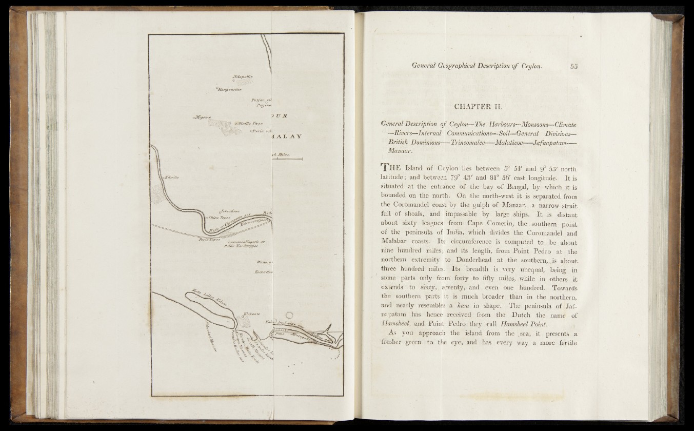
.CHAPTER II.
General Description o f ^eylon—The Harbours—Monsoons—Climate.
—Rivers—Internal' Cdmtnunications—-Soil^General Divisions—£■
' British Dominions---- TrvhcohialOe----Malativoe---- Jafnapatam----
Manaar. .
T h e Island dies between' 5V and J ljl ntirth
latitude; and be^w?er^9° 43' and .8I°« l6' 'east; longitude., I t is.
sitUatdd^at'* the,gefttaance/SC the bay .of^Bengal, by wHichjiHs
bounded Jin the north.- <0h tthe nortlb-west.it is separated, from
the Corom-ande;! nbast by the ignlph of Manaar,, a narrow strait
full -<ƒ£ ^sBo®s|l5artd impassable by large .-ships. It&i% .distant
about i^rxtyf itagubs ■front'-Cape Cqmerin, the1?southern- point
o f the peninsula !of India,' which di vHes'nfche Corqrnandel - and
Malabar- coasts.-' Its circumference is computed to,.,be about
hind - fet^d|td^thites; and its length, - from Point I*gdrq « a t *, thg
northern tcxtfetfta^n to - Donderhead at?}tJaes southern,-jiiSr about
three- hundredi’-rniles. Its-.^breadth^^.^very u'nequal, '-being; in
some p a rts;ohly "from" forty - to fifty miles, xwhile in qtheigc it
ek tends to sixty,, sevehtjf,, and event one liu^dred;., f,Tqwards
the’ ^outlierh parts it- is /huch broader;; than in ,the jnorthern,
and nearly resembles a ham in shape. The peninsuja of Ijafr-
napat&m ;has ilence received from the Dutch''^|Te%mam|r - qf
JIamsheel, and. Point Pedmethey call Ham&heel Point.
As -‘ you- approach th ^ 'islan d from the presents a
Ttfesher green- -'to 'th e eye, and rhas evefy ‘yt$y a more futile