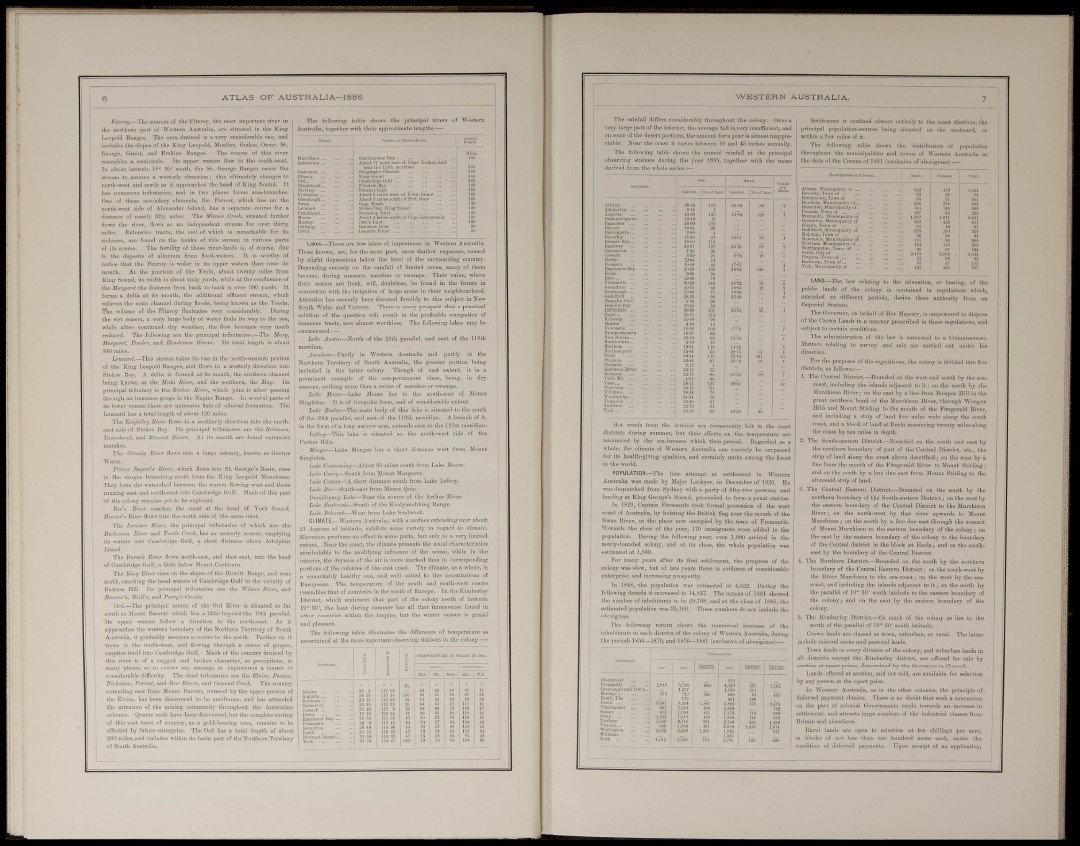
A T L A S OF AUSTRALIA—1886.
Jí'ííiroií.—The sources of the Fitr.roy, the most importunt rirer in
the iiortberu part of Western Aiisti-nlk, nre situated iu the Kiug
liBopclcl Kanges, The area dmiiicd is a very considerable one, nud
includes the slopes of the King Leopold, Mueller, Geikie, Oaoar, St.
George, Urimt, aud Ei-skiue Ranges. The course of this river
resembles n semicii-cle. Its upper watei-s flow to the south-west,
lu about latitude 18° 80' south, the St. George Ranges canse the
atreaiii to assume a westerly direction; this ultimately changes to
north-west aud north as it approaches the head of King Sound. It
has numerous tributaries, and in two places forms auarbi-anches,
Oue of those secondary channels, the Forresl, which lies on the
north-west side of Alcxaudcr Islaud, has a separate courae for a
distance of nearly fifty miles. The Minnie Crei^k, situated farther
miles. E.-tteosivo tract«, the soil of which is
arkablo
richness, are found ou the bauks of this strea
of its course. The fertility of these viver-laudi
to the deposits of alluvium from flood-waters,
notice that the Fitzi'oy is wider in its upper w
mouth. At the juuction of the Yeeda, aboi
King Sound, its width is about sixty yards, whi
the Margant the distance from bank to bank is over .500 yards. It
forms a delta at its mouth, the additional effluent stream, which
relieves the main channel during floods, being kno\vu as the Yeeda.
The volume of the Fitzroy fluctuates very considerably. During
the wet season, a very large body of wa ter finds its way to the sea,
while after continued dry weather, the flow becomes very much
reduced. The following are the principal ti-ibutaries :—The Manj,
Marganl, Pender, and Eendersun Hivers. Its total length is about
840 miles,
p thirty
independent stvei
t tvreuty miles from
e at the confluence of
i>M7i!triZ.—This sti-eam takes its rise in the north-western portion
of the Kiug Leopold Ranges, and flows iu a westerly direction into
Stokes Bay, A delta is formed at its mouth, the northern channel
being known as the Mrda Sivfr, aud the southem, the May. Its
principal tributary is the Barker River, which joins it after passing
through an immense gorge in the Napier Eauge. In several parts of
its lovver course there are esteusive flats of nUurial formation. The
Lennard has a total length of about 120 miles.
'I'he Ke'igktieij River Eows in a southerly direction into the northeast
side of Stokes Bay. Its principal tributaries are the RM»mn,
Toicnehind, aud Shwart Riverì. At its mouth are found extensive
marshes.
e estuary, known
into St. George's Basin, lises
3 King Leopold Mi
The Ghiielg River flows into a. lar
•\\'"ater.
Prince Regunt's Biv>r, which flows
iu the ranges branching uoi-th from th
They foi-ui the waterehed between the watera flowing west and those
rumiiug east and north-east into Cambridge Gulf. Much of this part
of the colony remains yet to be esploi-ed.
Rue'« Bivei- reaches the coast at the head of York Soi
Himter'» River flows into the nortii side of the same inlet.
The Larimer River, the principal tributaries of which are
Buchanan River and Turtle Creek, has au easterly course, emptying
its waters into Cambridge Gulf, a short distance above Adolphus
The Darack River flows aorth-east, and then east, into the head
of Cambridge Gulf, a little below Mount Cockbuni.
The King River rises on the slopes of the Howitt Range, and runs
north, reaching the head waters of Cambridge Gulf in the vicinity of
Bastion Hill, Its principal tributaries are the Wilson River, and
Brov,ne% TT««'«, and Parn/» Creeks.
Ord.—The principal source of the Ord River is situated so far
south as Mount Barrett which lies a little beyond the 18th parallel.
Its upper waters follow a direction to the north-east. As it
approaches the western boundary of the Northern Territory of South
AustraUa, it gradually assumes a course to the north. Farther on it
turns to the north-west, and flowing through a series of gorges,
empties itself into Cambridge Gulf. Much of the country drained by
this i-iver is of a rugged and broken character, so precipitous, iu
many places, as to render any attempt nt exploration a matter of
considerable difficulty. The chief tributaries are the Elvira, Pantm,
h'khdwn, Forrest; and Bow Rin.-rn, and O.wdoiirf Creek. The country
extending east from Mount Barrett, watered by the upper portion of
tlie Elvira, has been discovered to be auriferous, and has attracted
the attention of the mining community throughout the Austi-alinn
colonies.. Quartz reefs have been discovered, bat the complete testing
of this vast tract of countiy, as a gold-bearing area, remains to be
effected by future enterprise. The Ord has a total length of about
280 miles, and includes within its basin ])art of the Northern Territory
of South Australia.
The following table shows the principal rivers
Australia, together with their approximate lengths :—
St 0{ Cnpc Looker, and
I'allii
Cnmbridge Qiili ,.
Flliiilor»Bay ,.
AtotsS'lS^it
s X ? ^ Ktii¿"i
Norntilim )iilct ,.
.out l> miles Mut
ol-s Inlet
anfort liilct .,
Lakes.—There are few lakes of importance in Western Australia.
Those known, are, for the most part, mere shallow expanses, caused
by slight depressions below the level of the surrounding counti'y.
Depending entirely on the rainfall of limited areas, many of them
become, during s\imnier, marshes or swamps. Theii- value, where
their waters are fresh, will, doubtless, be found in the future in
connection with the irrigation of large areas in their neighbourhood.
Attention has recently been directed forcibly to this subject in New
South Wales and Victoria. There is every prospect that a practical
solution of the question mil result in the profitable occupation of
immense tracts, now almost worthless. The following lakes may be
enumerated:—
Lake AnHin—lHoTt k of the 28th parallel, and east of the 118th
meridian.
¿IiHiii/eus—Partly in Western Australia and partly in the
Northern Territory of South Australia, the greater portion being
included in th© latter colony. Though of vast extent, it is a
prominent example of the uon-penuanciit class, being, in diy
seasons, nothing more than a series of mai-shes or swamps,
Liike lioore—Lake Mooi-o lies to the south-east of Mount
Singleton. It is of irregular form, and of considerable extent.
Lake BarUe—The maiu body of this lake is situated to the south
of the 2nth pai-allel, and east of the 119th meridian, A branch of it,
iu the form of a long narrow ai-m, extends east to the 121st meridian,-
lake is situated ou the north-west side of the
Parker Hills,
Monger—Lake Monf short distance west from Mouut
Lake Cowcowing—Ahoab 00 miles south from Lake Moore.
Lake Carey—South from Mount Margaret.
Lake Cowan—A short distance south fi'oni Lake Lefroy.
Lake ifoc—South-eai?t fi'om Mount Quin.
Dumbleyung Lake—JHear the source of the Arthur River,
Lah'. Seahrooh—Soath of the Koolyanobbiug Range,
Lake Dei/orn/i—West from Lake Seabrook.
CLIMATE.—Western Australia, with a surface extending over about
21 degrees of latitude, exhibits some variety in regard to climate.
Elevation produces an effect in s
parts, but only to a very limited
extent, Near the coast, the dim
attributable to the modifying ii
interior, the dryness of the air is
portions of the colonies o:
ate presents the usual characteristics
ifluence of the ocean, while in the
more marked than iu corresponding
St coast. 'J.'he climate, as a whole, is
•kably healthy one, and well suited to the constitutions of
Europeans. The temperature of the south aud south-west coasts
resembles thut of countries in the south of Europe. In the Kimboriey
District, which embraces that part of the colony north of latitude
19° 30', the heat during summer lias all that intensenoss found in
other countries within the tropics, but the ^vinter season is gonial
and pleasant.
The following table illustrates the difference of tempernture as
ascertained at the more important observing stations in the colouy
W E S T E R N AUSTRALIA.
The rainfall differs considerably throughout the colony. 0'
very large part of the interior, the average fall is^very insufficient,
on some of the desert portions, the amount for a year is almost inappreciable.
Near the coast it varies between 10 and 4'j inches annually.
The following table shows the annual rainfall at the principal
observing stations during the year 1885, together with the i
derived from the whole series ;—
Hot inds fi'om the inter ccasionally felt in the coast
districts during summer, but their effects on the temperature are
minimised by the sea-breezes which then prevail, Regarded as a
whole, the climate of Western Australia can scarcely be surpassed
for its health-giving qualities, and certainly I'anks among the finest
in the worid.
POPULATION.—The first attempt at settlement in Western
Australia was made by Major Lockyer, in December of 1826. He
was despatched from Sydney with a party of fifty-two ne
and
h
it King George's Sound, proceeded to form a penal station.
In 1829, Captain Premantle took formal possession of the west
coast of Australia, by hoisting the British flag near the mouth of the
Swan River, at the place now occupied by the town of Premantle.
Towards the close of the year, 170 immigrants were added to the
popnlation. During the following year, over 1,000 arrived in the
newly-founded colony, and at its close, the whole population was
estimated at 1,830.
For many years after its first settlement, the progress of the
colony was slow, but of late years there is evidence of considerable
enterprise, and increasing prosperity.
In 1848, the population was estimated at 4,622, During the
follomng decade it increased to 14,887. The census of 1881 showed
the number of inhabitants to be 20,708, and at the close of 1885, the
estimated population was 85,186. These numbers do not include the
aborigines.
The following return shows the numerical increase of the
iuhabitauts in each district of the colony of Western Australia, during
the periods 1859—1870, aud J870—1881 (exclusive of aborigines) :—
Settlement is confined almost entirely to the coast district«, tho
principal population-centres being situated oa tho seaboard, or
withiu a few miles of it.
The follouring table shows the distribution of population
throughout the municipalities and towns of Western Australia at
the date of the Census of 1881 {exclusive of aborigines)
sÉIsS
LAND.—The law relating to the alienation, or leasing, of the
public lands of the colony is contained in regulations which,
amended at different periods, derive their authority from an
Imperial Statute.
The Governor, on behalf of Her Majesty, is empowered to dispose
of the Crown Lands in a manner prescribed in these regulations, and
subject to certain conditions.
The administration of the law is entrusted to a Commissioner.
Mattei-s relating to survey and sale are carried out under his
direction.
For the purposes of the regulations, the colony is divided into five
districts, as follows:—
1. The Central District.—Boimded on the west and south by the seacoast,
including the islands adjacent to it; on the north by the
Murchison Eiver; on tho east by a line from Bompas Hill in the
great northern bend of the Murchison Eiver, through Wongan
Hills aud Mount Stiriing to the mouth of the Fitzgerald Biver,
and including a strip of land five miles wide along the south
coast, and a block of land at Eucla measuring twenty miles along
the coast by ten miles in deptli.
2. The South-eastern District.—Bounded on the south and east by
the northern boundary of ])art of the Central Distiict, viz., the
strip of land along tho coast above described; on the west by a
line from the mouth of the Fitzgerald Rivor to Mount Stirling;
and on the uortli by a line due east from Mount Stirling to the
aforesaid strip of land.
3. The Central Eastern District.—Bounded on the south by the
northern boundary of the South-eastern District; on the west by
the eastern boundary of the Central District to the Murchison
River; on the north-west by that river upwards to Mount
Murchison; on the north by a line duo east through the summit
of Mount JIurchison to the eastern boundary of the colony; on
the east by the eastern boundary of the colony to the bonndary
of the Central district in the block at Buck; and on the southeast
by the bonndary of the Central District,
4. The Northern District.—Bounded on the s
3uth by the northern
on the south-west by
the west by the sean
boundary of the Central Eastern District;
the Eiver Murchison to the sea-c.oast; on
coast, and including the islands adjacent t
the north I
the parallel of 19° 30' south latitude to the eastern boundary of
the colony; and on the east by the eastern bonndary of the
colony.
5. The Kimberley District.—So much of the colony as lies to the
noi-th of the parallel of 19° 30' south latitude.
Crown lands are classed as town, suburban, or rural. Tho latter
include mineral areas and pastoral lands.
Town lands in every division of the colony, and suburban lands in
ell districts except the Kimberley district, are offered for sale by
auction at upset prices, determined by the Governor in Council.
Lands offered at auction, and not sold, are available for selection
by any person at the upset price.
1 Westei'n Australia, as in the other colonies, the principle of
deferred payment obtains. There is no doubt that such a concession
on the part of colonial Governments tends towards an increase in
settlement, and attracts large numbers of the industrial classes from
BritJiin and elsewhere,
Rural lands are open to selection at ten shillings per acre,
in blocks of not less than one hundred acres each, under the
condition of deferred payments. Upon receipt of an application,