m
LEGEND.
5cicd topography having been inlroduc«! in the
TOPOGRAPHY.
The map of Central Colorado is a reproduction of a portion of the Hayden Atla.s, con
maps of tills Division, of tlie Mosquito Range, and of the Ten-mile District.
The maps of the Mosquito Range and of Leadville and Vicinity wcr,: made by A. D. Wilson, Chief To|>ograplier, «-ith assistants Rcichc! King nnd
Hohnnn; the fonn.r by a triangulation based .pon g«odclic ,>o!nt., dctern.ined by Ü,. Hayden Sum^y, elevations being obtained by depression angles
from |>o!nts of known altitude; the latter by triangulation developed fron, a b.-tse measure.! at Leadville, slopes and elevaU..ns being dclern.ine.l by numerous
profiles run with tlie level. The elevations, indicated by imaginary horizontal lines at stated vertical intervals, kno^vn a-s contoiir.s, arc given as. above mean
sea level, the original datum point from which they were calculaled being the thresl,old of the First .National Bank in Leadville. The fUitude of thl^ point
is assumc<l as 10,125 f^et, which U the mean of tl.rce determinations Qblaine<l by connection with three points to «.Inch level lines had been run vk • bend,-
n,arles of the Colorado Central and Denver & Rio Grande Railroad., and the summit of Mt Lincoln. Wbcre numbers denoting altitude are given in only
three figures, they are to be taken as many feet above the .cx000feet contour. Shafts and tunnels are indicated by small circl,^ on the Leadville map •
when these are full ,t indicates that the mine was producing ore at the time of location. They arc numbered independently in each lettered square formed
by meridians and [«ralléis of latitude; names corresponding to each number, where known, will be found i, " " '
Leffingwell.
Of tlie mine maps, the topography of those of Fryer and Carbonate Hills is by Mr. Wilson; the n
measure from their own surveys, by G. H. Robinson and F. G. Bulkley, respectively.
n the Inde.-i. They were located by Wm. H.
e workings were compiled and <lrawn, li
Both topography and mine workings of the two Iron Hill maps are by H. Muber.
All profiles arc constructed from the maps with equal vertical and horizontal scales. The scales to which tiie respective maps are
4 miles to one inch, or TTTVTÍ. Contours at 200 feet vertical inierval.
ir TTThT- Geological, a half mile to one inch, or ttStt- Contours, 1
MOSQUITO RANGE—Topographical, o
LKADVILLE AN'I> VIC IN ITV—Eight hundred feet tt
MIXE MAI'S—One hundred and sixty feet to on
s follows:
e inch, o
In field «
Ernest Jacol).
een basc<l 0
GKOLOGY.
n of all maps, the geologist In cha^e has been most eiTicicndy aided fl
It Whitman Cross and Prof. Arthur Lakes took |)art in the field work of the Mo
iscopical examinations by Mr. Cross. All pateontological detemi I nations were made by Prof. R. P. WhitlieltL
Geological colors on the surface maps give the form of outcrops, projected on a horizontal plane, as they wouk! appear if all loose detrital material
were removed. Where the recent formations, however, arc of sunlcient importance, they are shown In the cross-sections.
On the Mostiuito Map, die formations Weber Grits and Weber Shales are Iwth included under the color of the fornicri so the Ml. Zion Porphyry
IS included under the color of the White Porphyry, and all other varieties indicated by the single color p.
pnaarrtt° ooff ^ti ns ^shleeltf bte' ing indicatedT Ib"y tiic color p. "<> rorm
All cro^-sec«ons are drawn to natural scale, and the thickness« there given to sedimentary formations arc aver.-iges obtained from several measi.rcxi
sections. Uata in regard to depth.«, faults, and folds, are, in the vidnitj- of Leadville, mainly derived from undergrou
or near the plane of a section, they are Indicated thereon in full or dotted lines respectively
The inclination of sedimentary beds is indicated by r. line In tl.e direction of the strike, crossed b
IS inversely proportional to the angle ivith the horizon.
Fault plane intersections are given In heavy black lines ; lines of cross-sections in blue. Otliei
rcspcctive maps.
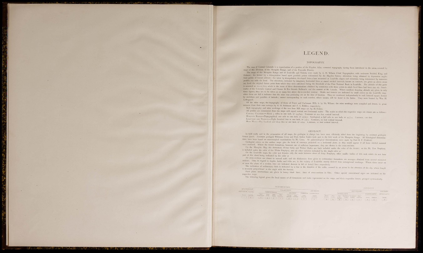
The following legend gives the local names ol' all formations and rocks represented o
n the beginning by ossisunt geologist
' 0 Range. All liihologicaJ determinarkings.
Where the.«: o
the direction of <h« dip. whose length
Í Indicated on tl
maps, and tlieir respective letters, groupcti syslfmatic.-.lly.
• n , ÜU C D cin